Located in the northeast of the country, Mývatn lake and its surroundings gather impressive otherwordly landscapes. Get ready to see craters, intriguing lava formations, and steaming mud pots, only to name a few examples. This article covers 15 ideas of things to do around the Mývatn Lake area, plus 5 additional sightseeing ideas that are less than a 1-hour drive away. I will also provide practical tips for visiting the Mývatn area, including how to get there, accommodation suggestions, and locations of supermarkets and gas stations.
1. Dimmuborgir lava field – 2. Hverir geothermal area – 3. Hverfjall crater – 4. Skútustaðagígar pseudocraters – 5. Kalfastrond & Hofdi peninsulas – 6. Grjotagja and Storagja caves – 7. Mývatn Nature Baths – 8. Viti crater – 9. Leirhnjukur crater – 10. Krafla Power station – 11. Perpetual shower – 12. Bird-watching and Sigurgeir’s Bird Museum – 13. Vindbelgjarfjall mountain – 14. Spot northern lights – 15. Flight tour with Mýflug Air
16. Dettifoss waterfall – 17. Goðafoss waterfall – 18. Húsavík and whale-watching – 19. Ásbyrgi canyon – 20. Aldeyarfoss waterfall
Everything you need to know about gas stations, supermarkets and accommodation in the Mývatn Lake area.
📌 Short on time? Pin for later!
How to get to Mývatn lake area, Iceland
Getting to the Mývatn lake area in Iceland is pretty easy, despite its remote location in the north of the country. The nearest town to Mývatn is Akureyri, which is located only a 90-minute drive away. As usual in Iceland, renting a car is (by far) the best way to get there; because public transport is almost non-existent (and way less flexible).
The whole Mývatn Lake is encircled by roads: Route 1 on the western and northern shores, plus Route 848 on the eastern and southern shores. Both driving routes are paved and well-maintained, so you don’t necessarily need a 4WD to visit the area. Last but not least, I would like to remind you that weather conditions in Iceland can be unpredictable, so be sure to check road conditions and weather forecasts before setting out on your journey. The most reliable source of information to do is the Road.is website.
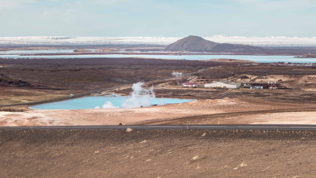
The 15 best things to do in Mývatn lake area, Iceland
Situated on the lake’s northeastern shore, Reykjahlíð is the primary village that serves as the natural base for exploring Mývatn. Despite being a small settlement with approximately 200 inhabitants, Reykjahlíð offers essential amenities such as guesthouses, hotels, a supermarket, a petrol station, and an information centre.
From here, follow the lakeside road to explore many points of interest, such as lava formations in eastern Mývatn, a group of pseudocraters to the south, and areas of ornithological observation in the west.
'Mývatn' translates to 'Lake of Midges'. Indeed, swarms of these little flies invade the area during summer. On a positive note, they are a major source of food for birds. That being said, they can be a true annoyance for humans. Consider getting a head net and repellent to avoid the bother.
Let’s now dive into 15 things to do in the Mývatn Lake area, located less than a 20-minute drive from Reykjahlíð.
1. Dimmuborgir lava field
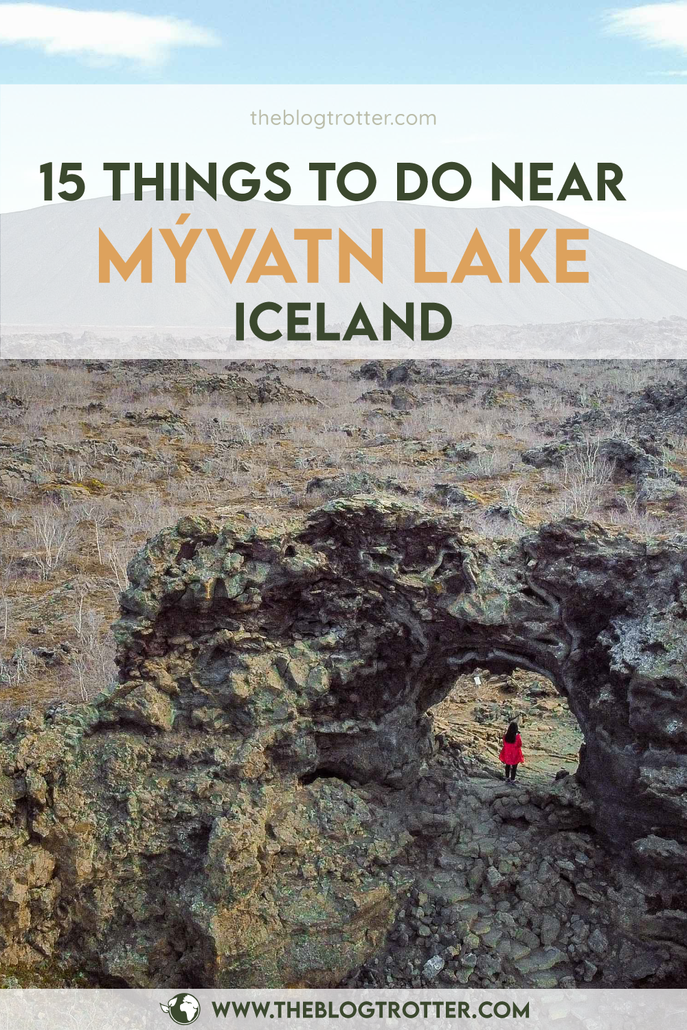
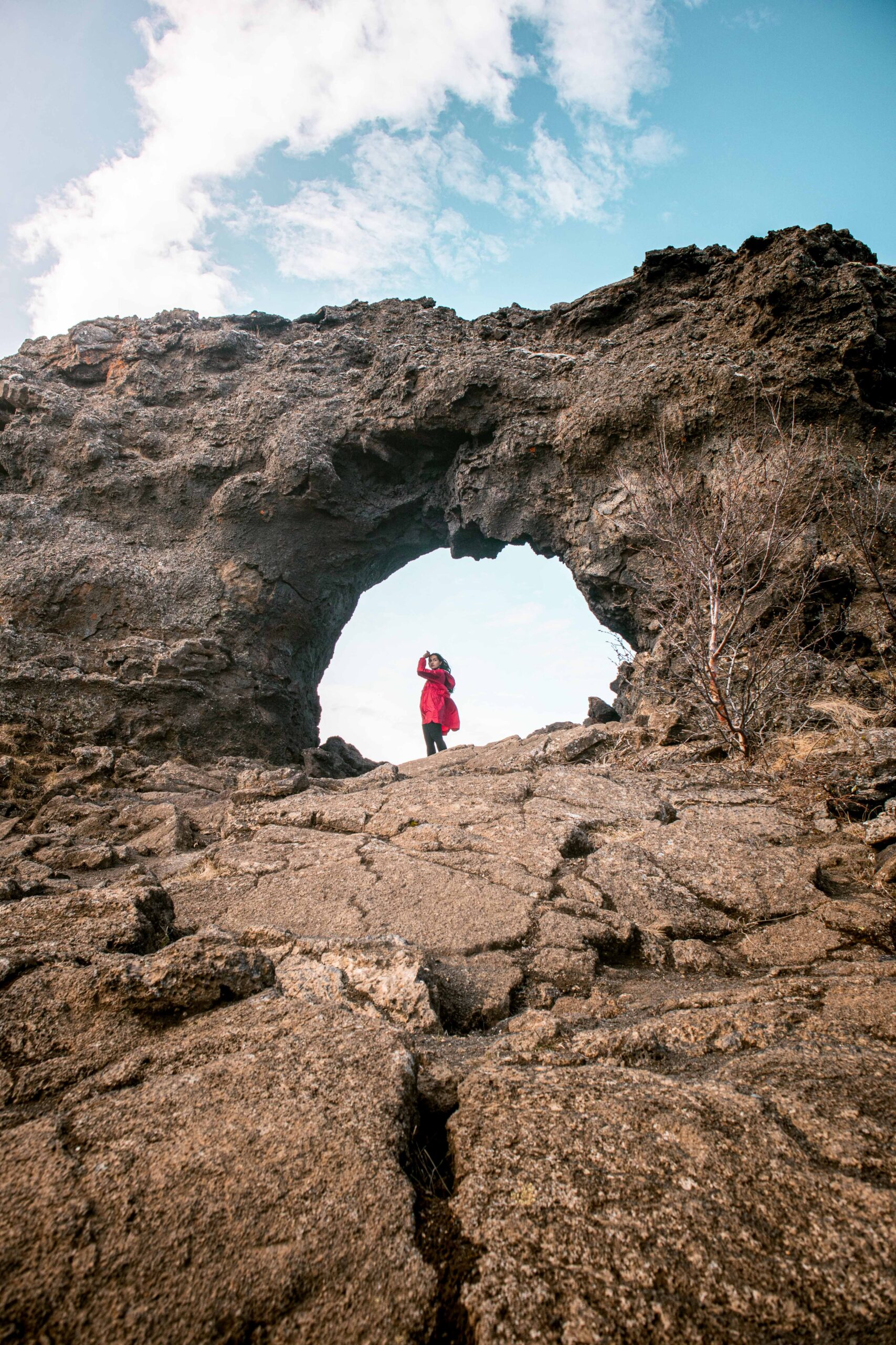
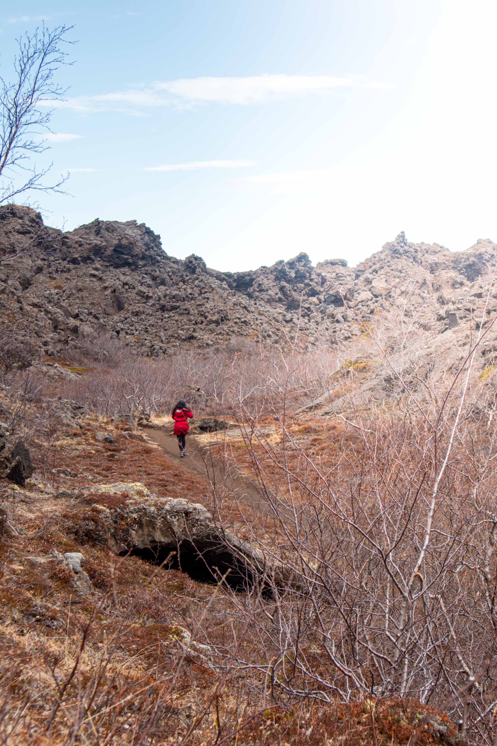
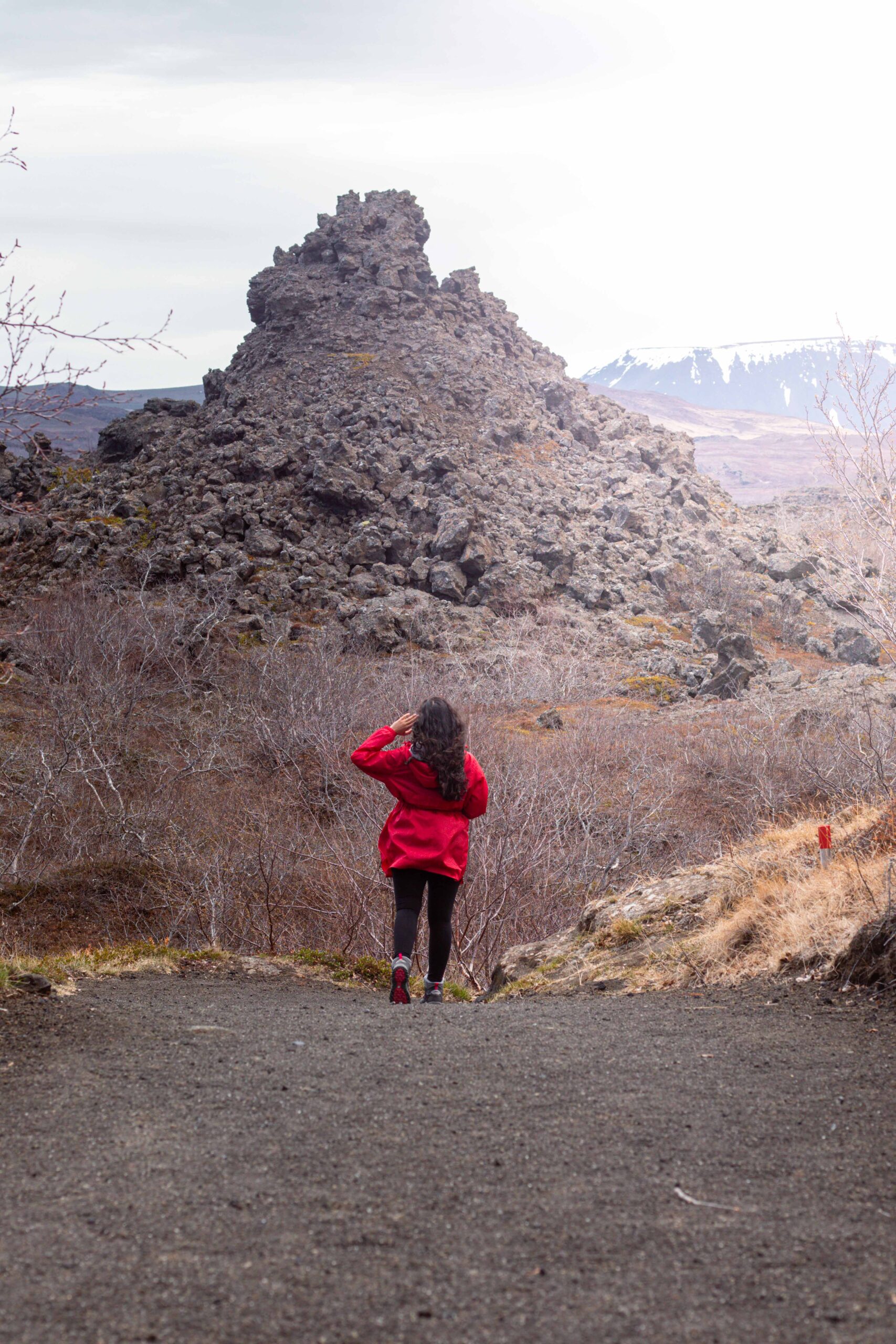
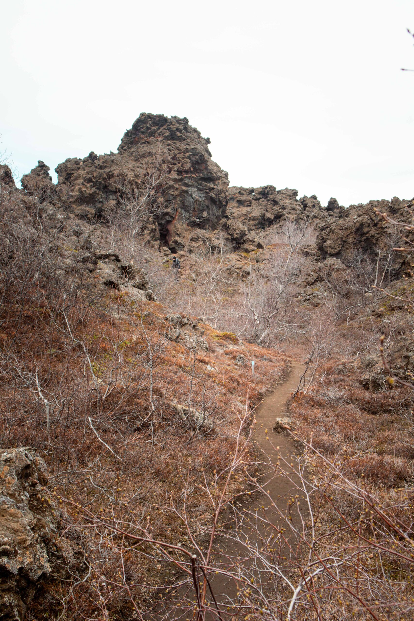
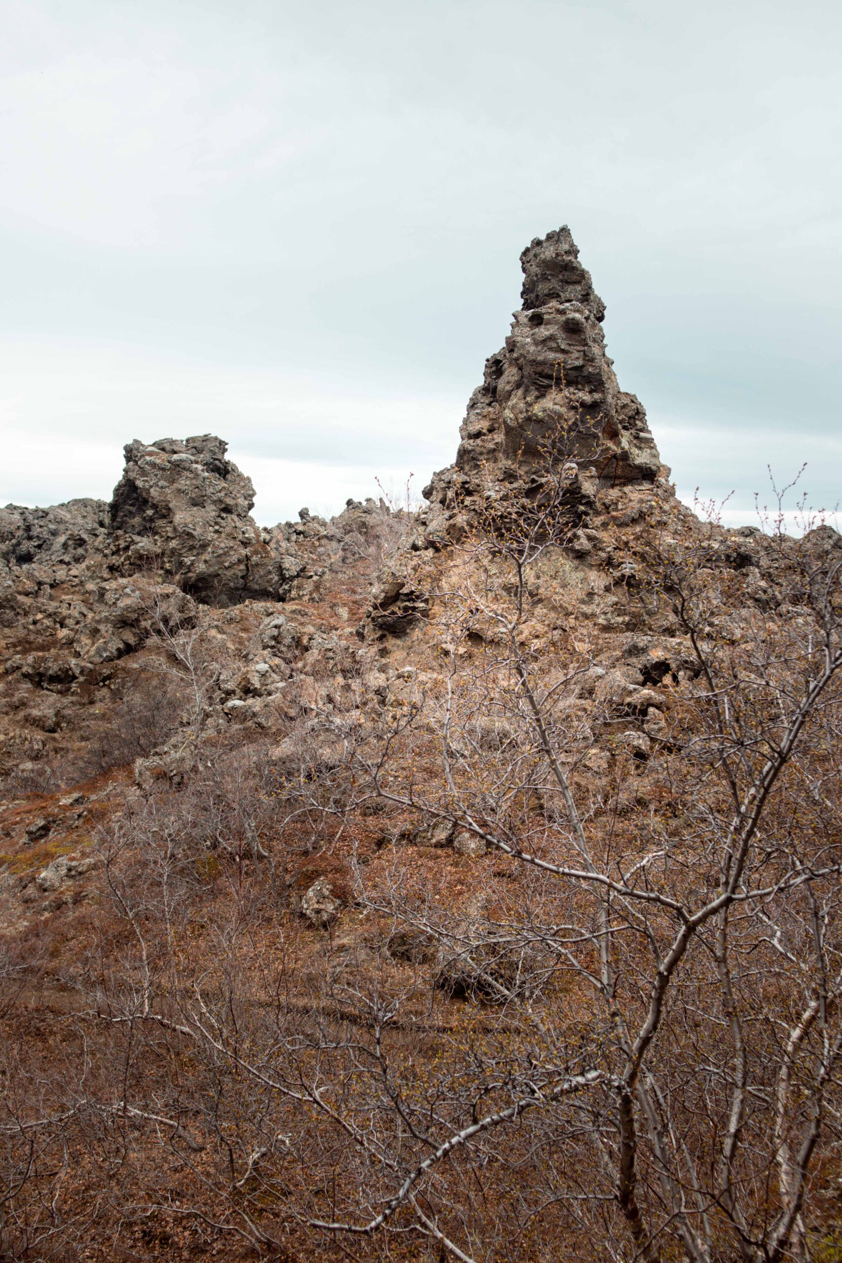
Dimmuborgir (which can be loosely translated to ‘Dark Fortress’) is one of the must-see attractions in the Mývatn lake area, and for good reason. This otherworldly lava field is filled with bizarre rock formations, arches, and caves, making it a popular destination for hikers. Now, I am aware Iceland is not shy of lava fields, but Dimmuborgir is unlike any others you’ll see in the country (or in the world, even). This is because this one was formed in particular geological conditions. As lava flowed across the land during the eruption 2 300 years ago, it came across a lake. When the lava met the water, the liquid began to boil while simultaneously cooling the lava down quickly. As this happened, vents of steam shot through some of the lava. The remains of this phenomenon are the many pillars, columns and ridges that can be seen in the Dimmuborgir protected area today.
To visit Dimmuborgir, simply park your car in the designated lot and follow the well-marked trails through the lava field. There are five easy colour-coded hiking trails within the area of Dimmuborgir:
- Litli hringur (‘Small Circle’): 600 m, marked in dark blue
- Stori hringur (‘Big Circle’): 900 m, marked in yellow
- Kirkjuhringur (‘Church Circle’): 2 200 m, marked in red
- Mallandahringur (‘Medium Circle’): 1 600 m, marked in green
- Krokastigur (‘Crooked Path’): 850 m, marked in light blue
There are also two marked trails leading outside of Dimmuborgir, one to the Hverfjall crater and the other to Lake Mývatn.
🗺️ Download the map of the hiking trails in Dimmuborgir here.
📍 Dimmuborgir lava field is located on Route 848, which is a side road off the Ring Road (Route 1), approximately 7 kilometers from Reykjahlíð.
🎟️ Access to the Dimmuborgir lava field is free.
🕒 Dimmuborgir lava field is open year-round. However, it’s important to note that some parts of the trails may be closed during the winter months due to snow and ice. Depending on the trail you choose, account for between 30 minutes and 2 hours for a visit.
2. Hverir geothermal area and Námafjall ridge
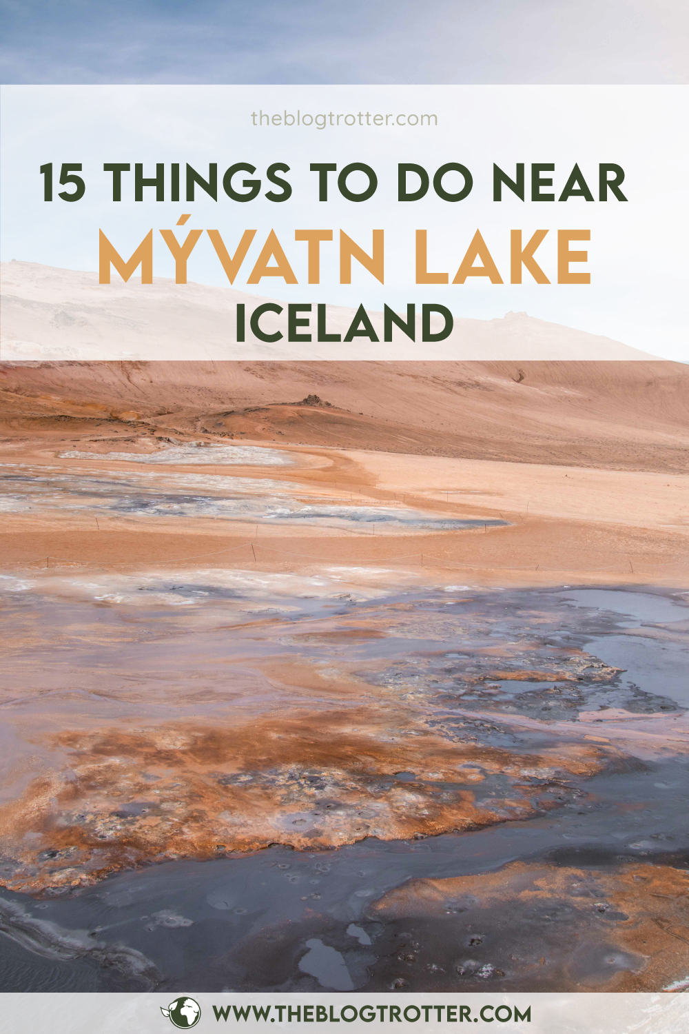
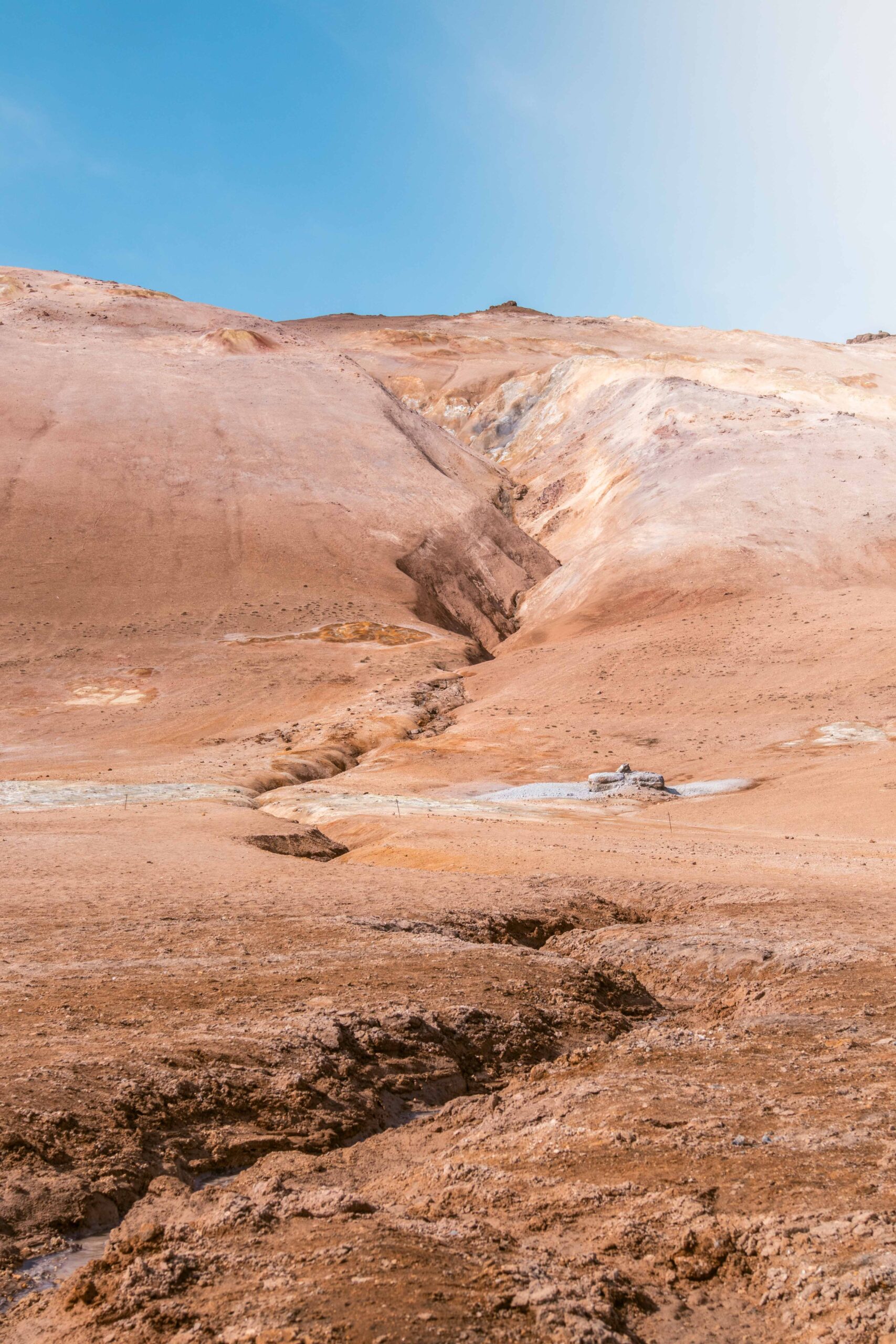
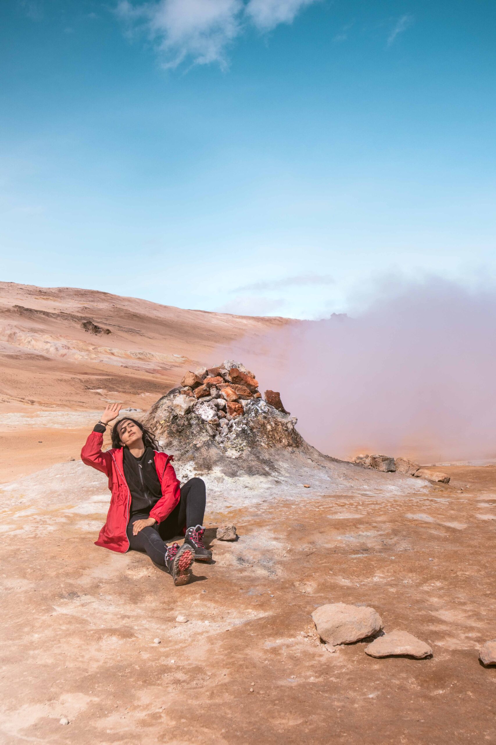
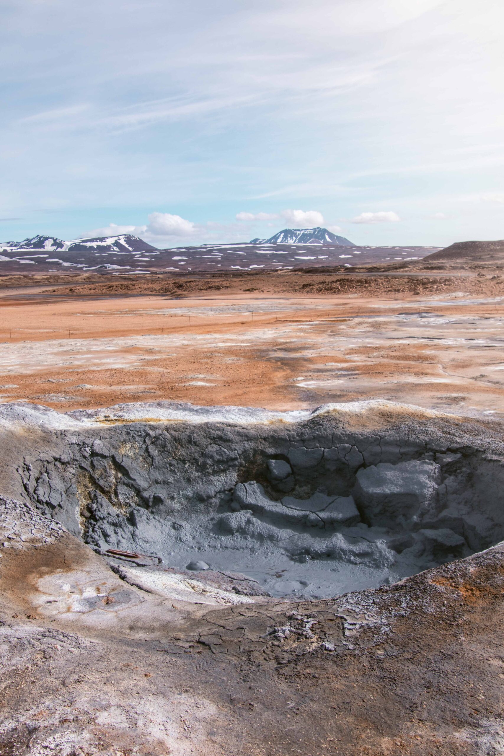
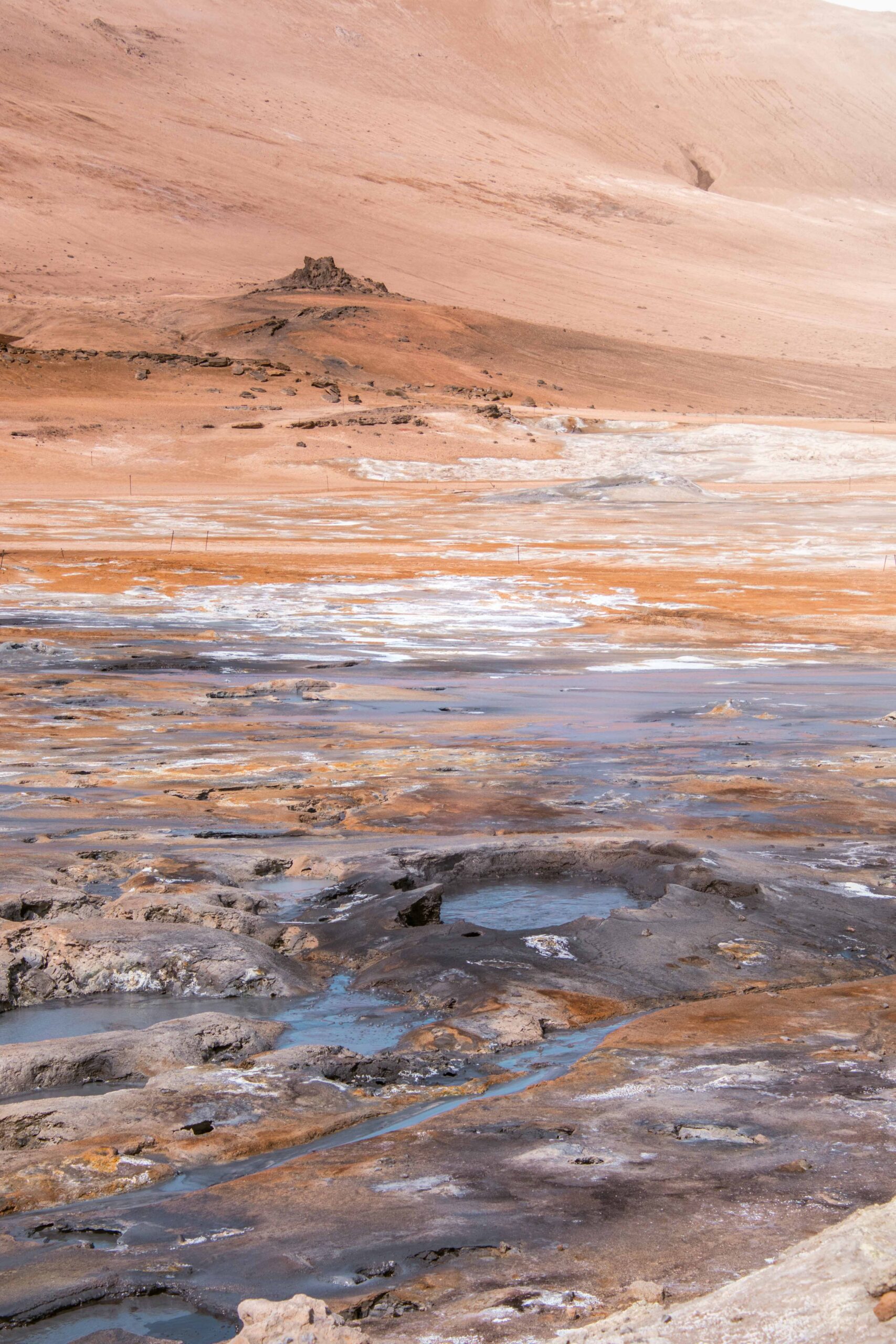
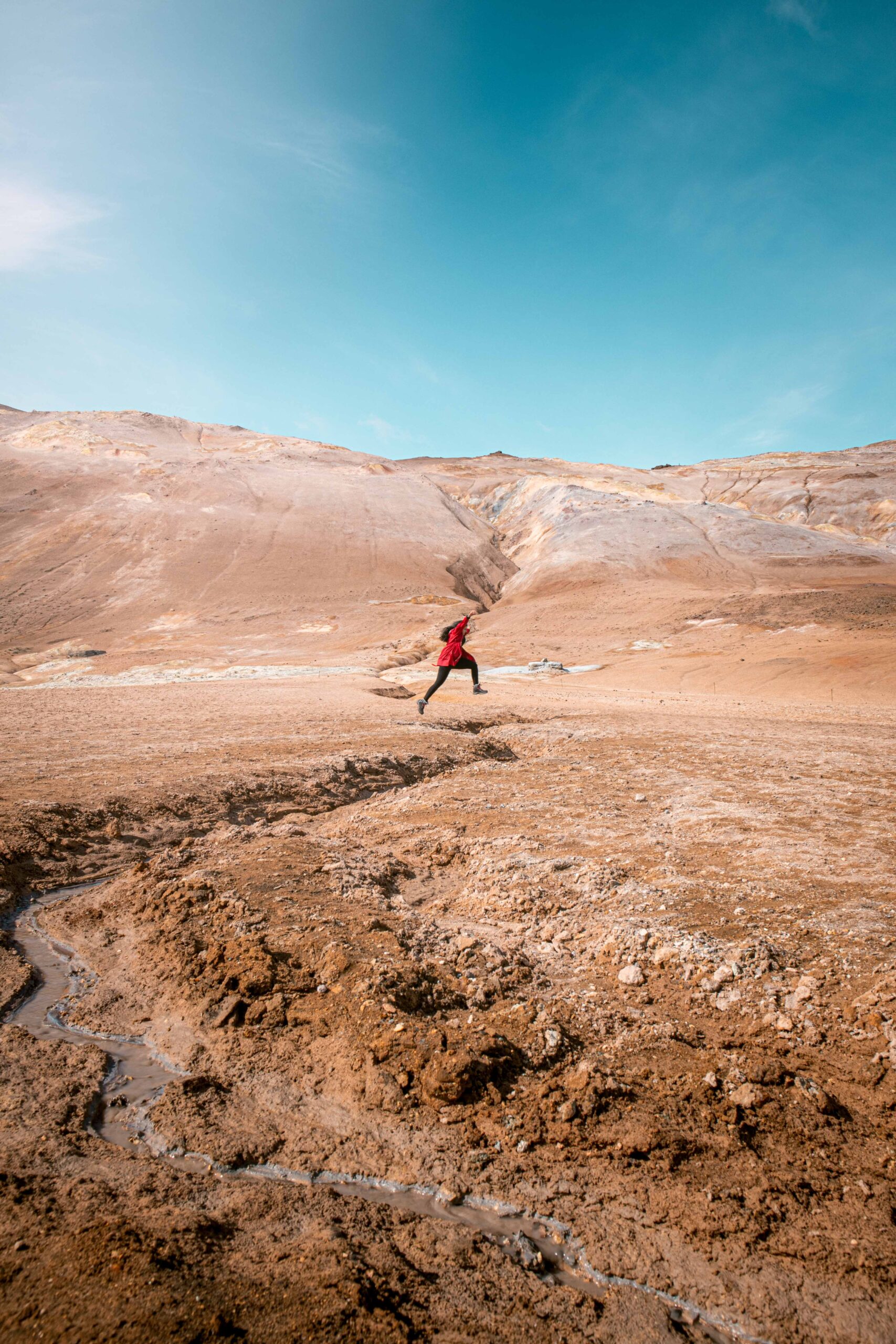
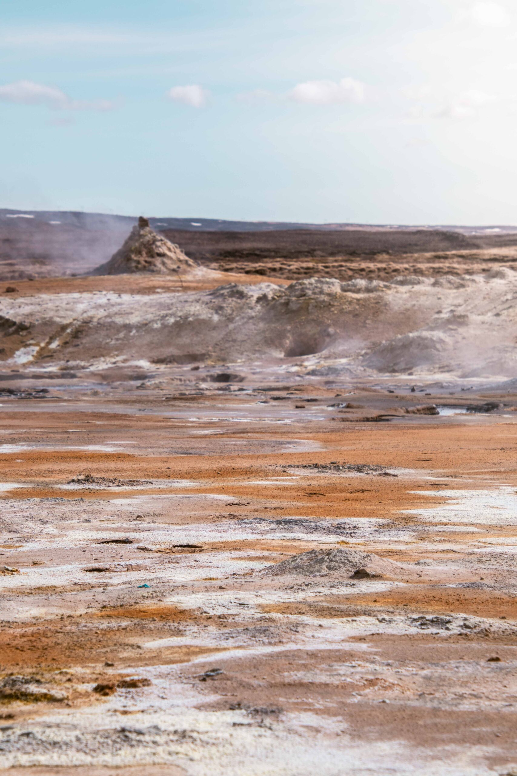
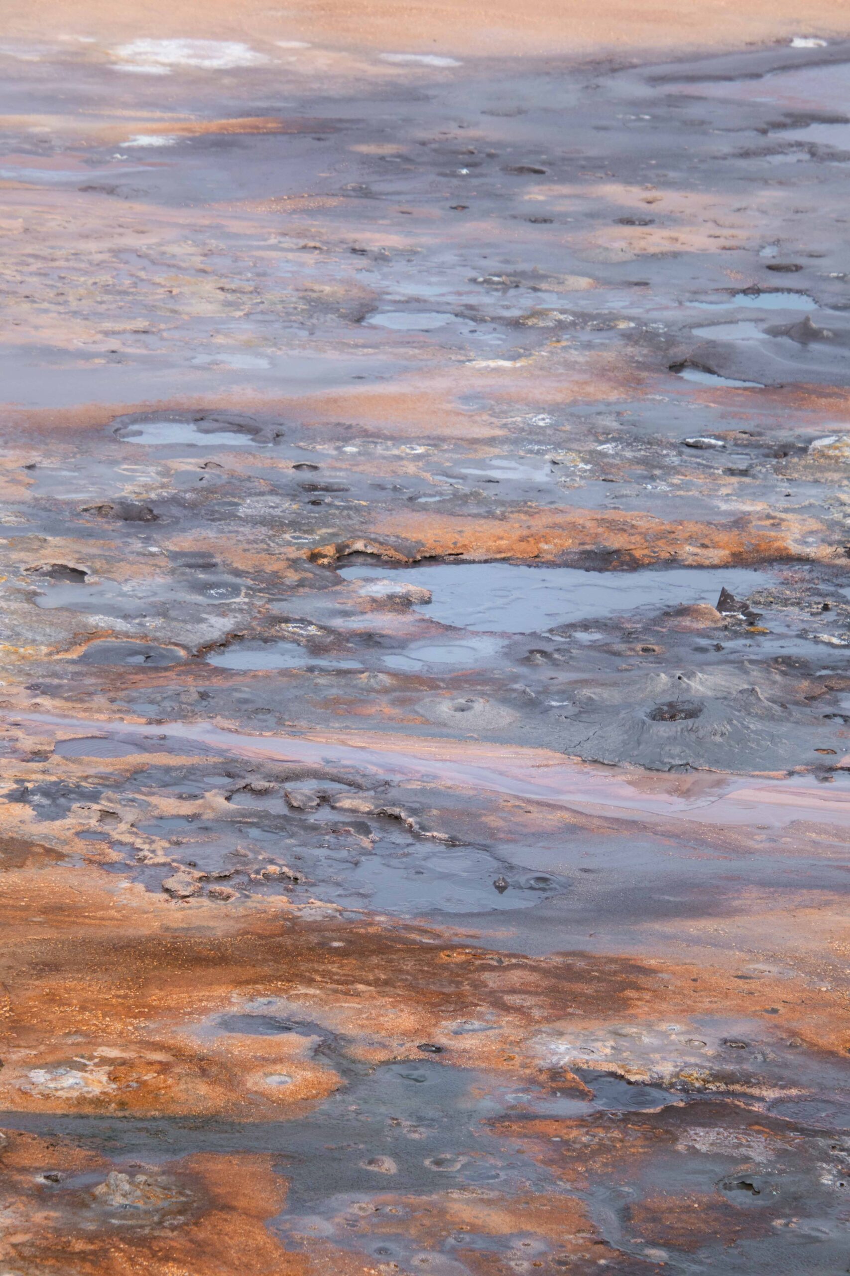
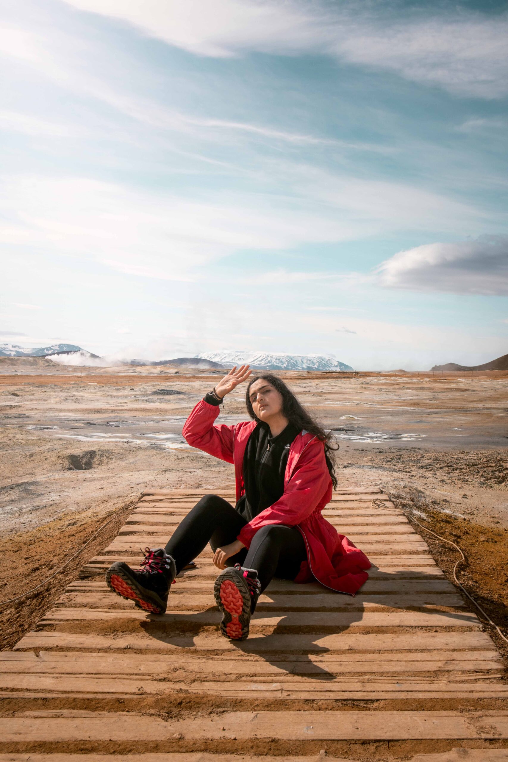
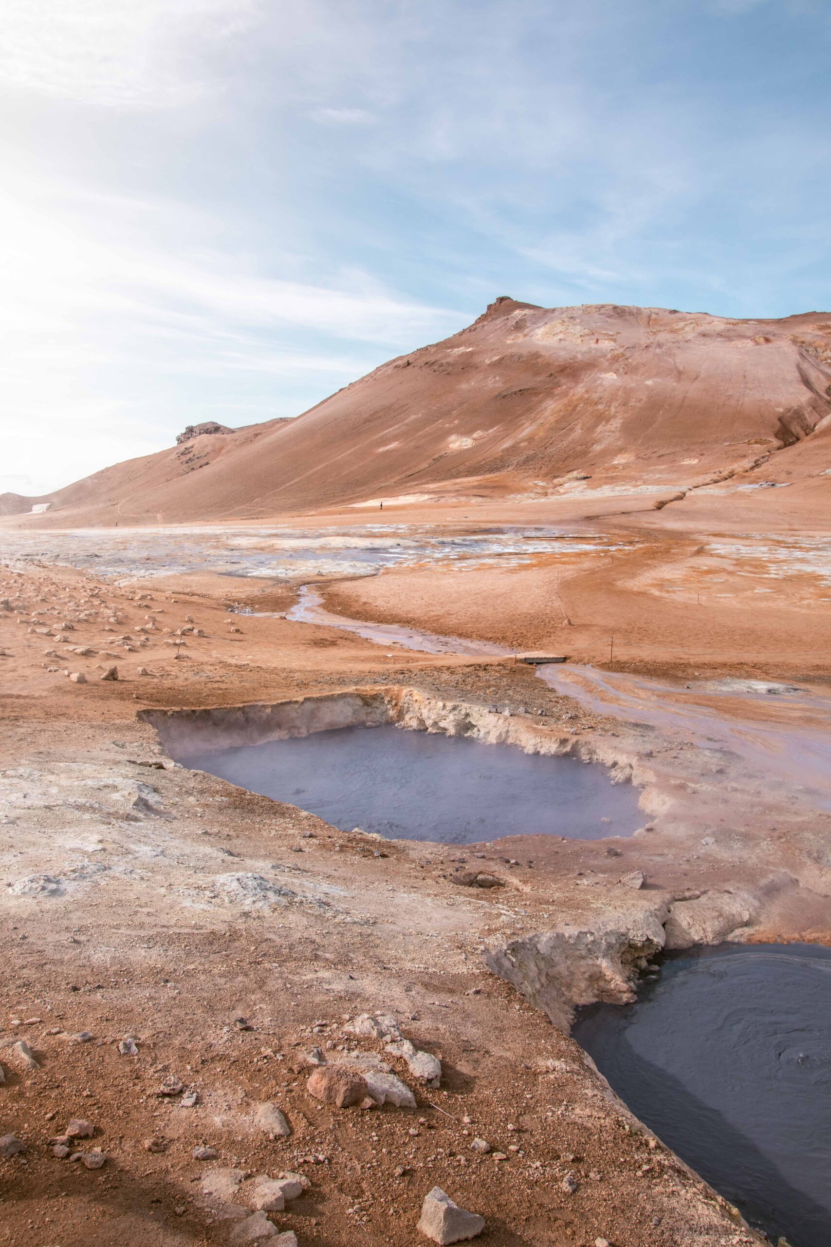
Hverir, sometimes called Hverarönd, is a geothermal area near Lake Mývatn. This alien-like landscape is filled with bubbling mud pots, fumaroles, and steam vents, which makes it a popular location for those interested in Iceland’s geothermal activity. The unique tones of ochres, browns and blue greys make this area a photographer’s paradise. The only downside is the strong sulphur smell which embalms the whole site: be prepared for the distinct scent of rotten eggs!
To minimize the risk of severe injury and preserve the natural features, it is necessary to not go beyond the designated roped-off pathways.
When you are there, you can’t miss the impressive Námafjall ridge. If you have some energy, time, and sturdy hiking shoes, the top can be reached with a 30-minute climb via a dedicated walking trail. You will be rewarded with panoramic views of Lake Mývatn on one side, and of Hverir geothermal area on the other.
📍 Hverir is located by the Ring Road (Route 1), approximately 6 kilometers from Reykjahlíð.
🎟️ Access to Hverir and Námafjall is free.
🕒Hverir is open year-round. Account for at least 30 minutes to enjoy the area. Add one hour if you want to climb Námafjall.
3. Hverfjall crater
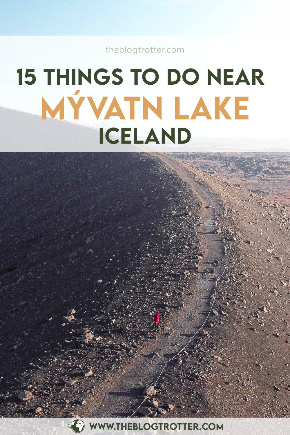
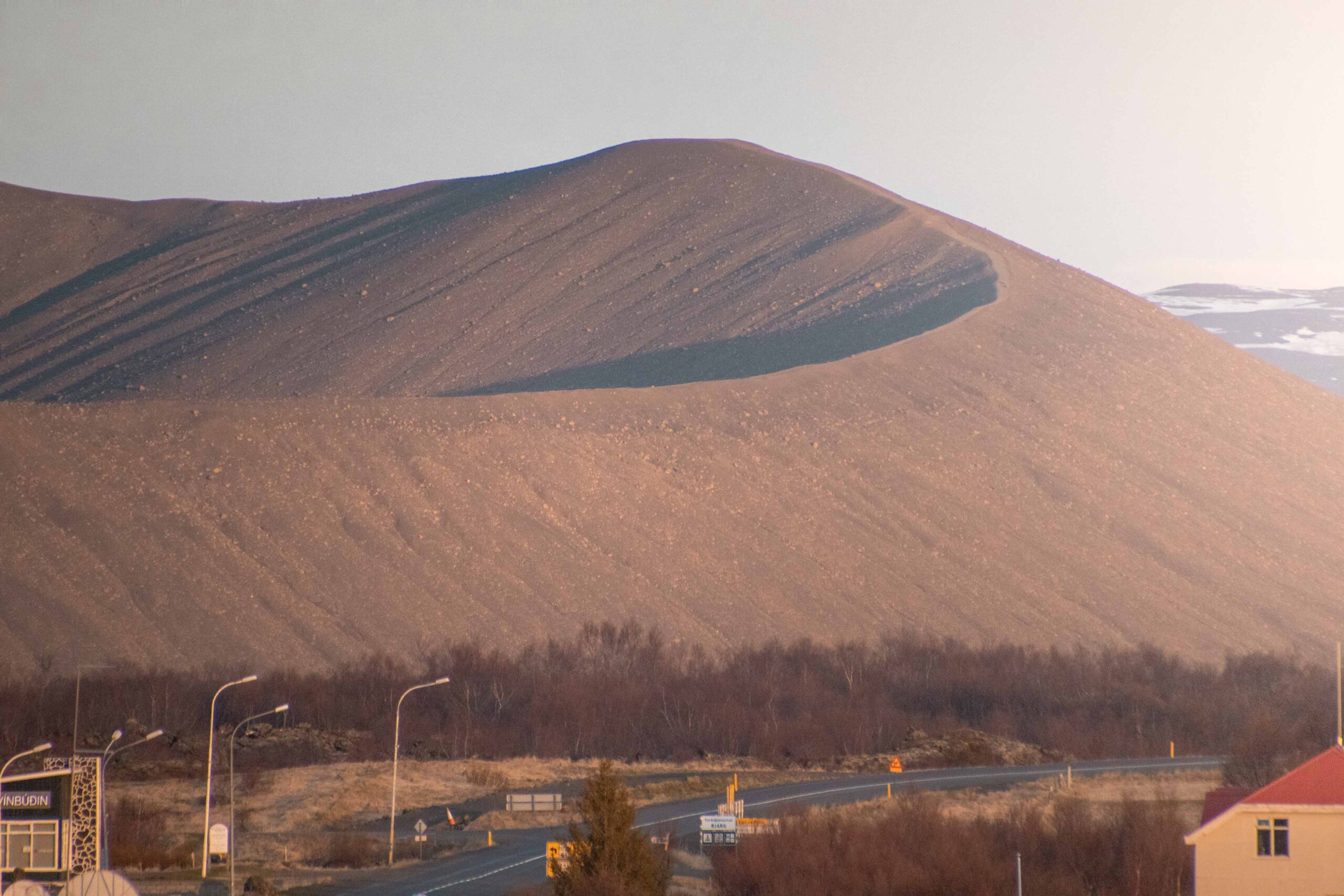
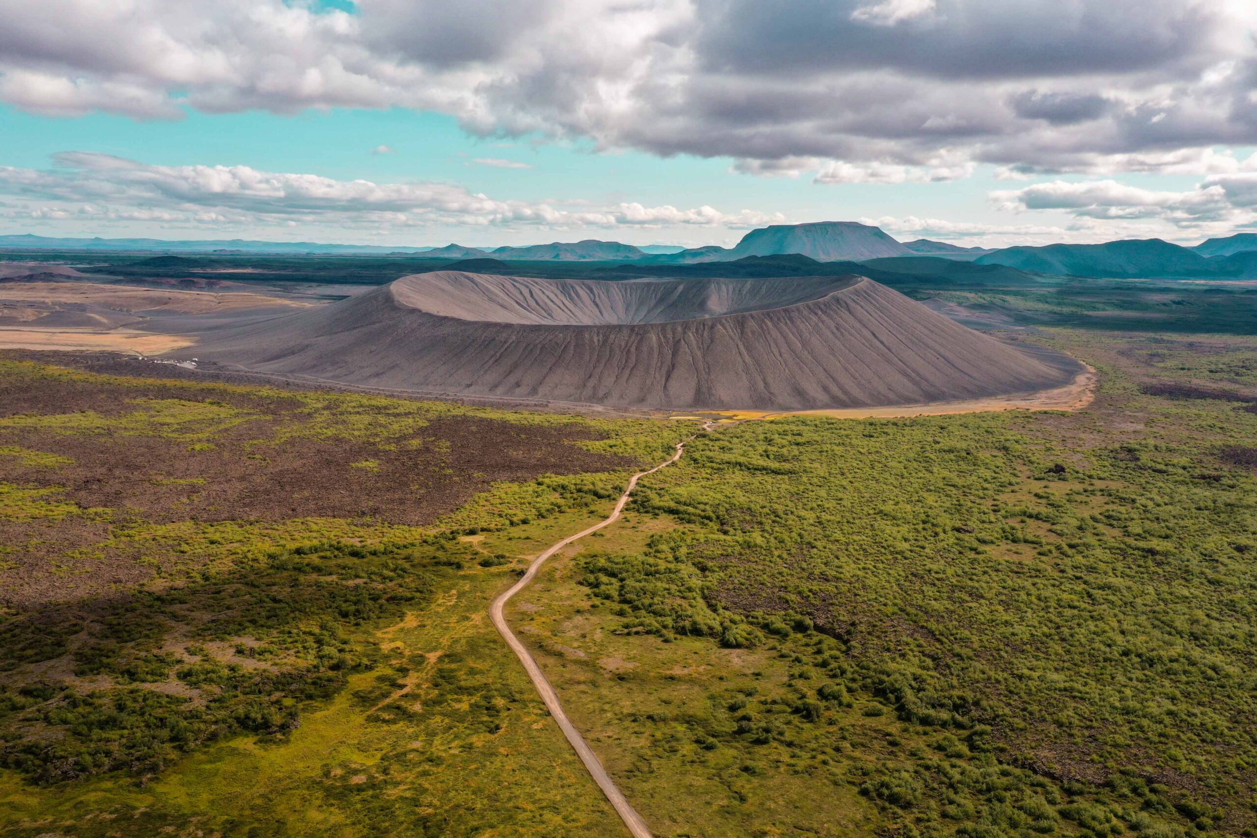
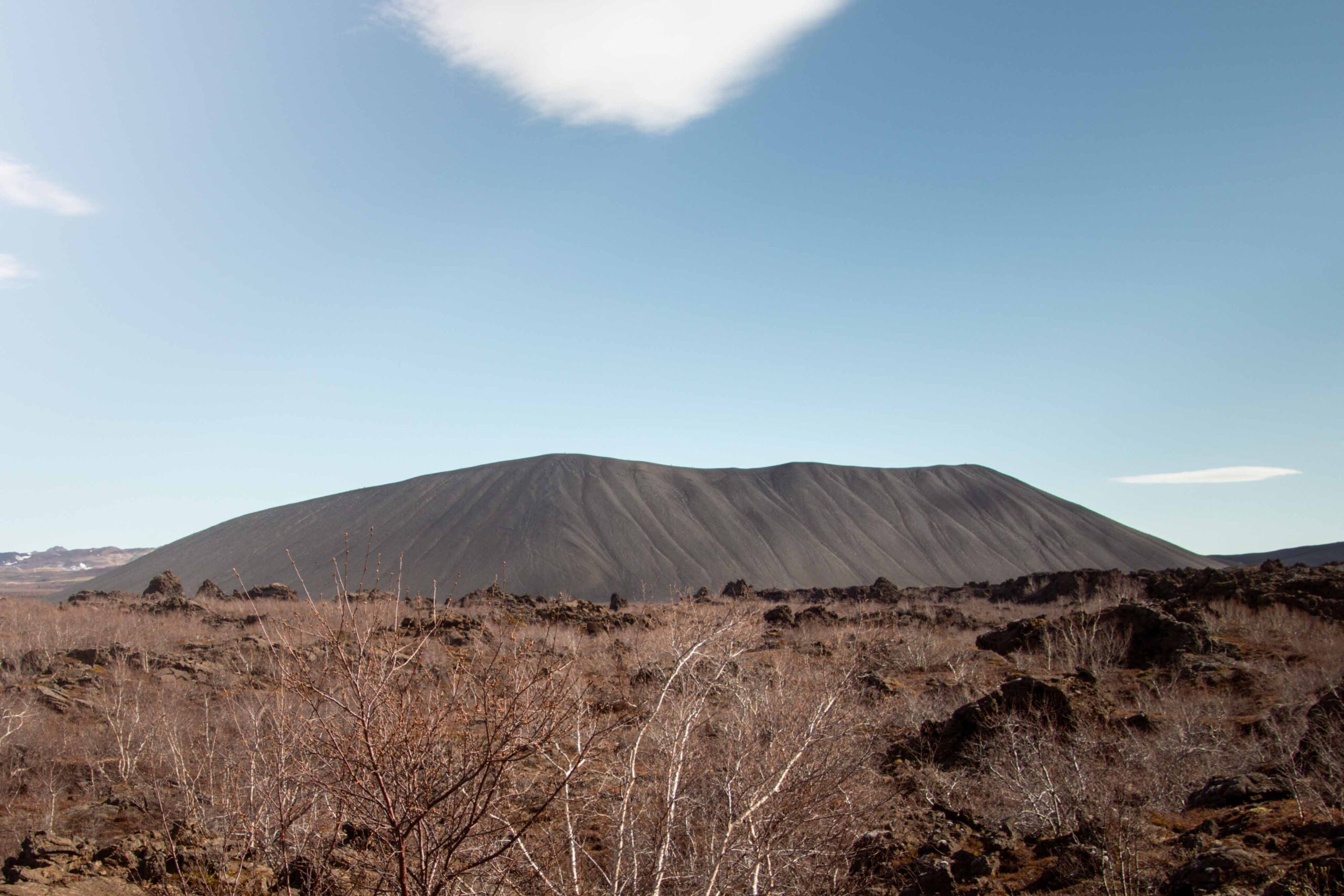
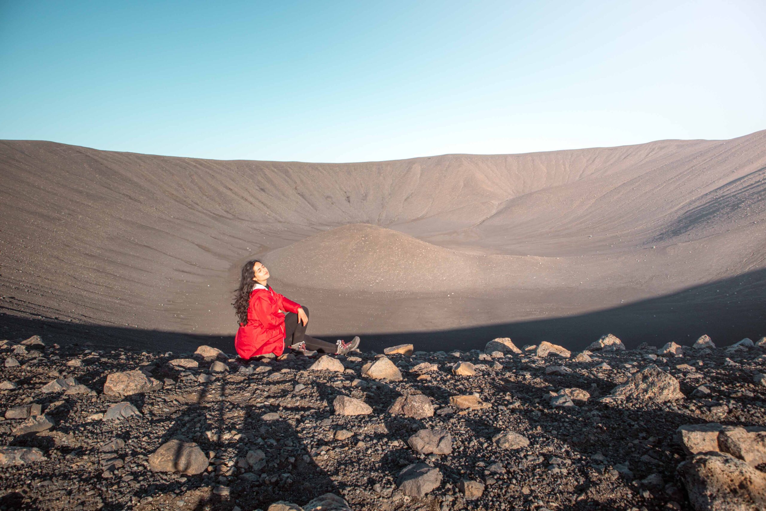
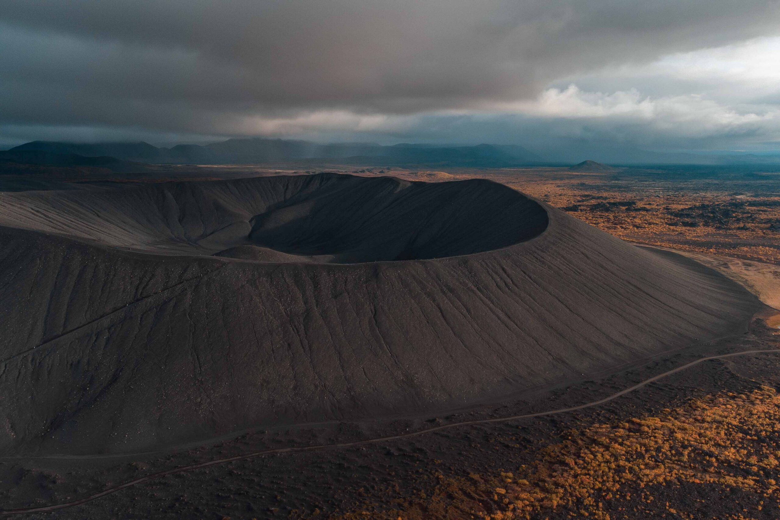
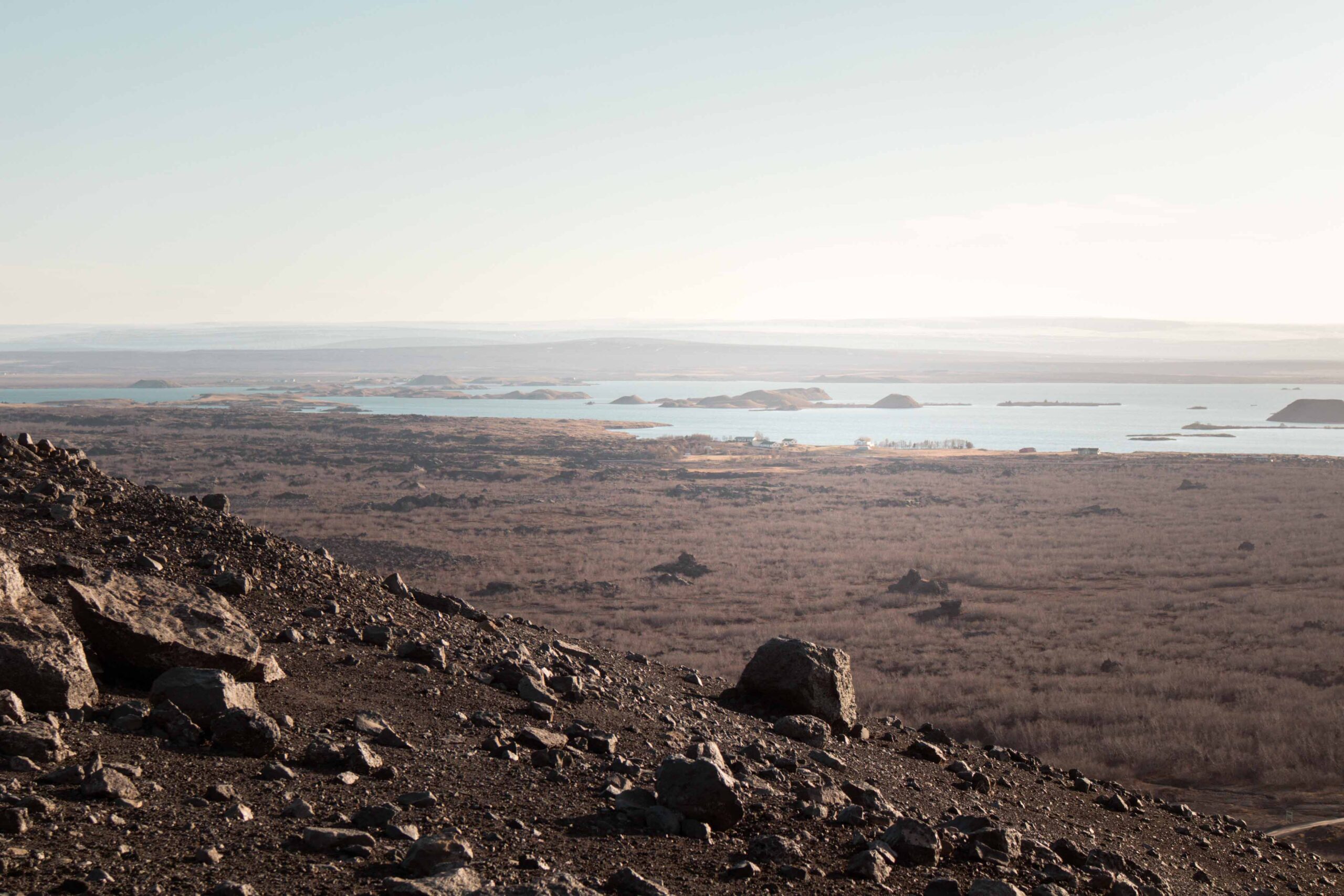
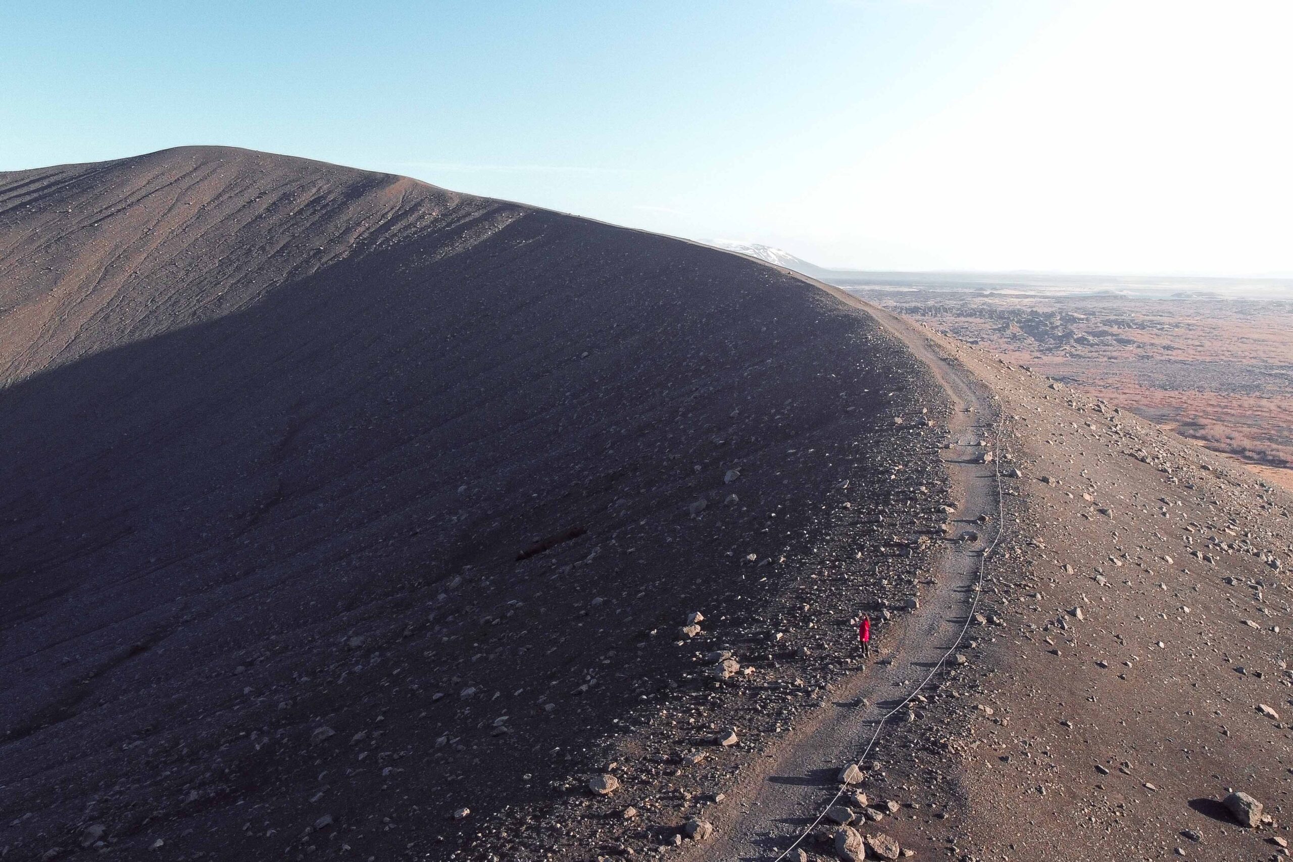
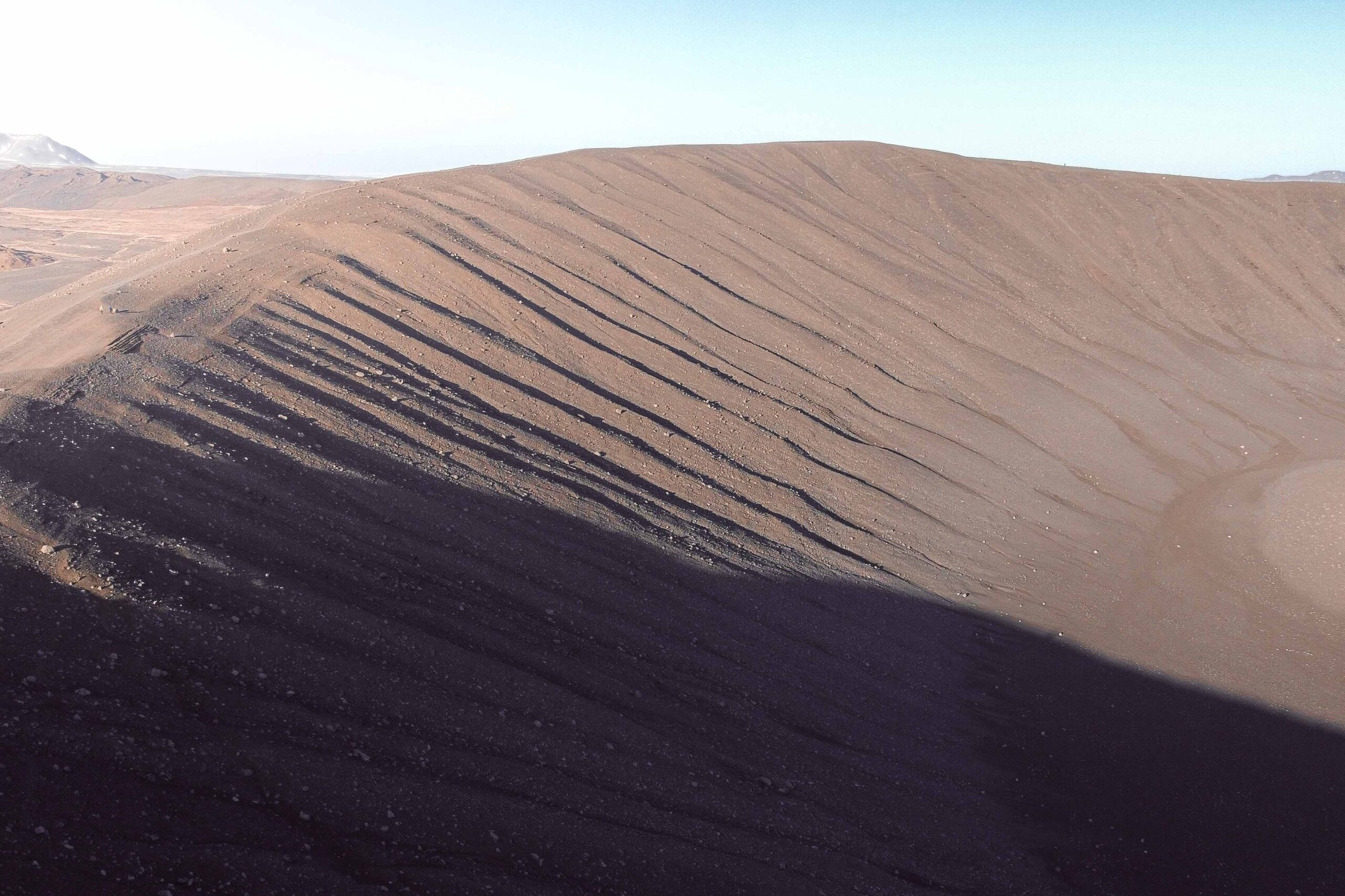
Hverfjall is a massive volcanic crater that dominates the Lake Mývatn area with its 400-meter (1300 feet) height. This impressive, dark and nearly-symmetrical crater was formed during a volcanic eruption about 2500 years ago. To visit Hverfjall, park your car in the designated lot and follow the well-marked trail up to the rim of the crater for 15 to 30 minutes depending on your pace. The hike is pretty steep and can be challenging, but the views from the top are well worth the effort. Once you arrive there, you will see panoramic views of the surrounding landscapes, including the Mývatn lake and the nearby Dimmuborgir lava fields. Walking around the whole crater, which stretches over 1 km is also possible.
📍 Hverfjall crater is accessible from Route 848, approximately 6 kilometres from Reykjahlíð.
🎟️ Access to the Hverfjall crater is free.
🕒Hverfjall crater is open year-round. Account for at least 1 hour and a half for a climb and the walk around the crater.
4. Skútustaðagígar pseudocraters
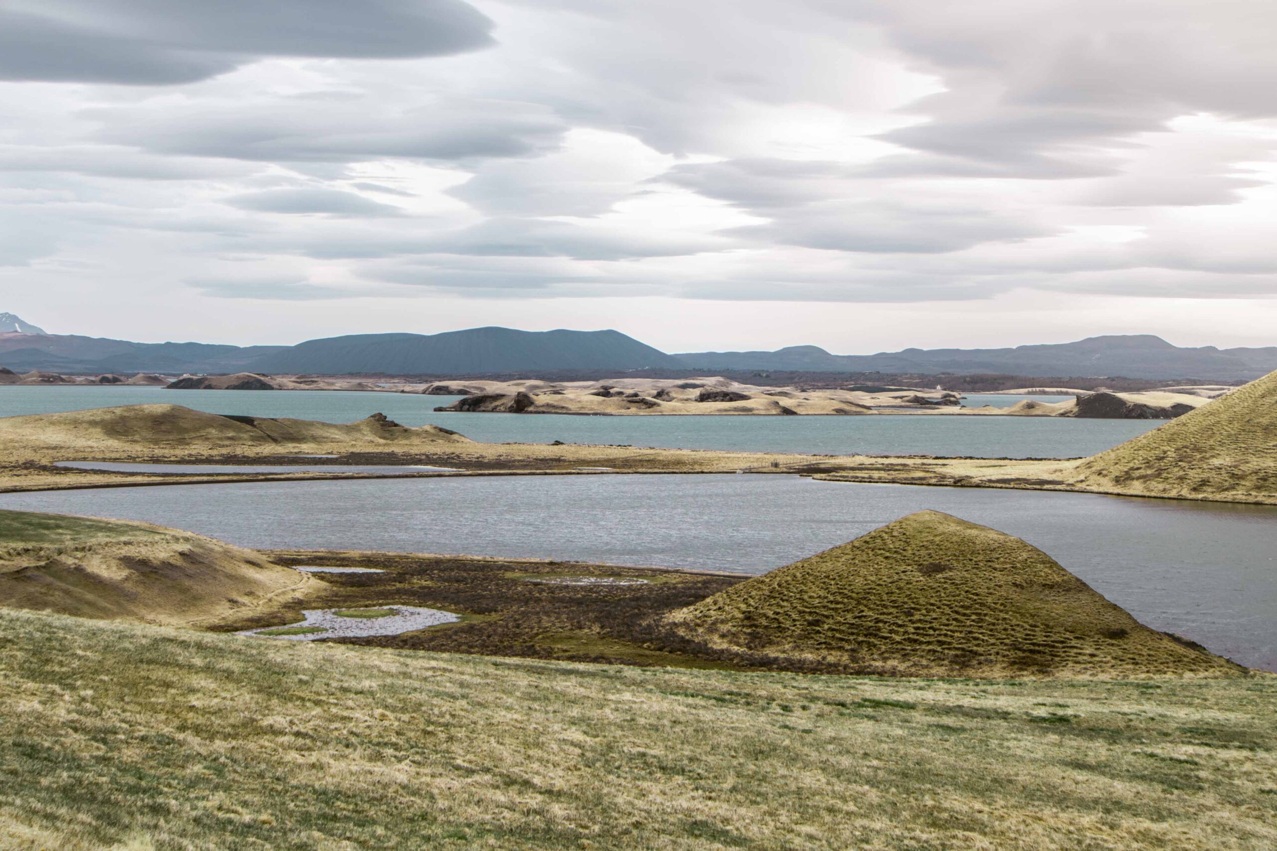
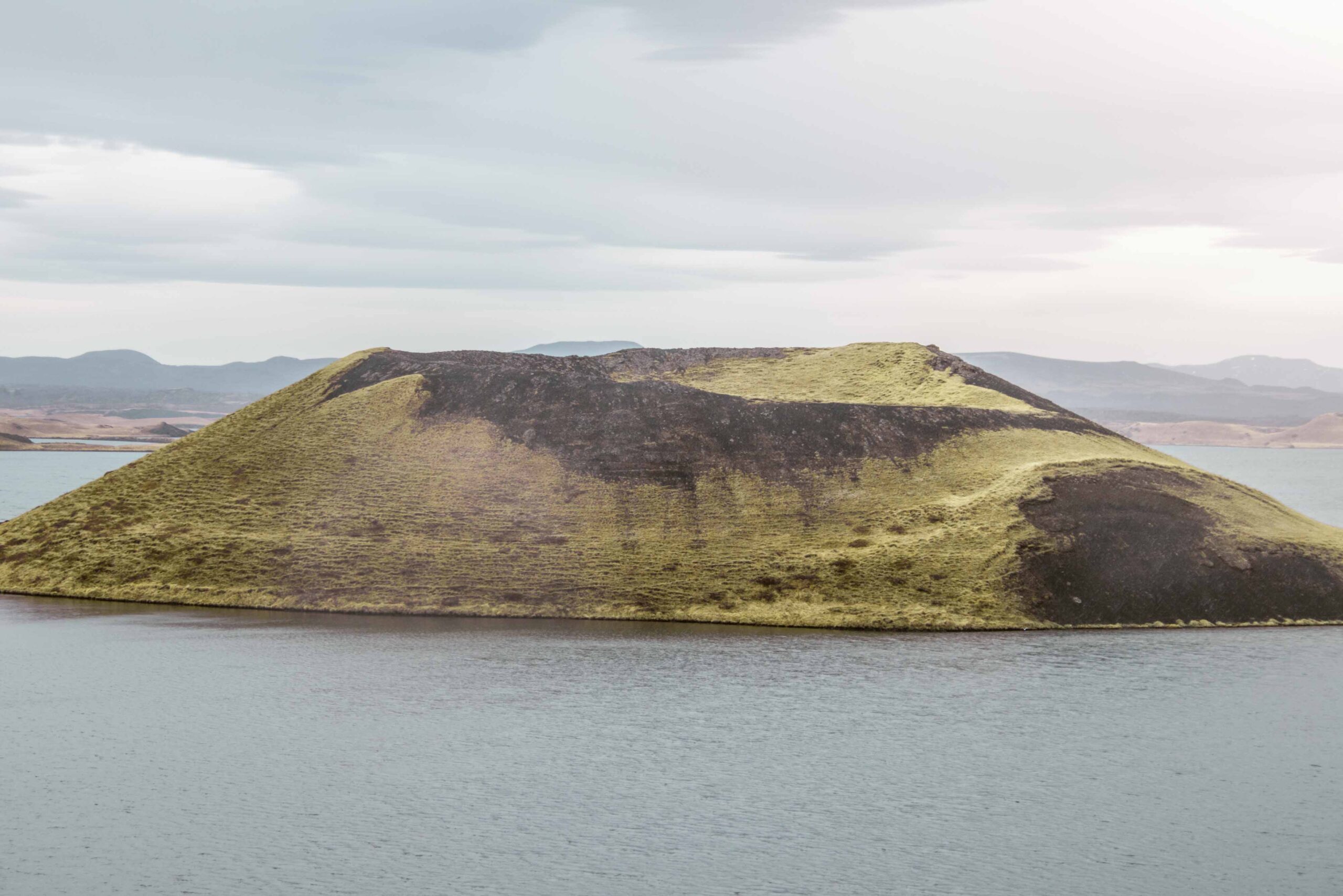
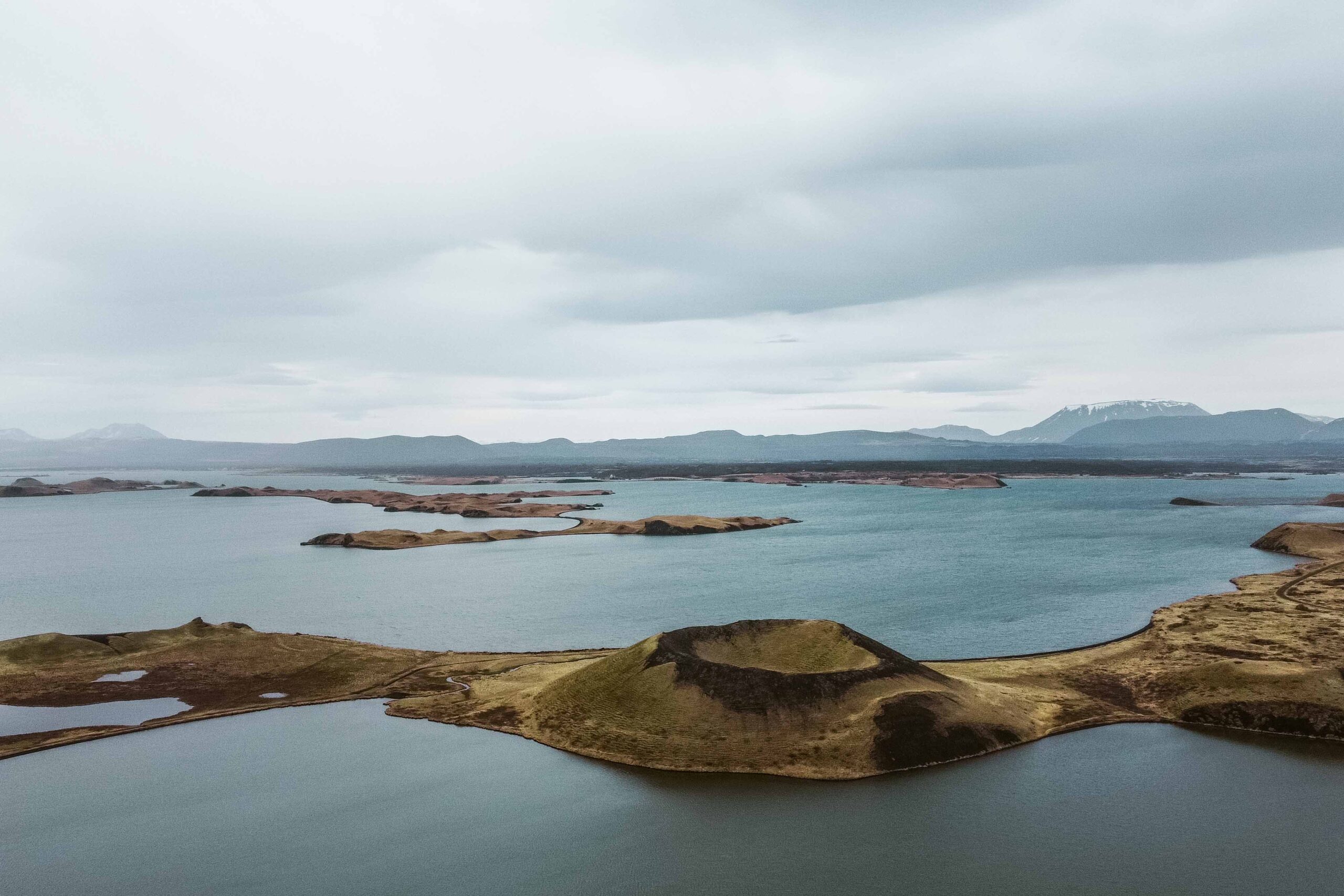
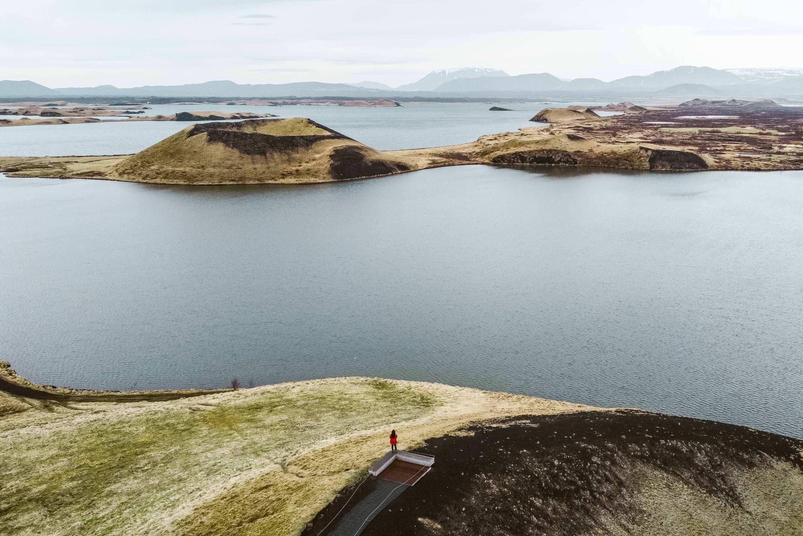
Skútustaðagígar is a group of pseudocraters located on the southern shore of Mývatn lake. To see Skútustaðagígar, you can park your car in the hamlet of Skútustaðir and follow the well-marked trails through the area. The trails are easy to navigate and take you past some of the most impressive pseudocraters, which range in size from just a few feet to several hundred feet in diameter. These intriguing black cones surrounded by vibrant green grass and the lake’s blue water are a unique sight to behold.
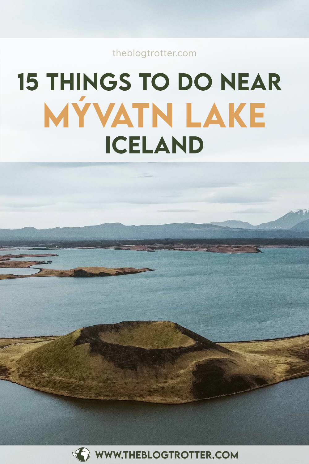
A pseudocrater can be described as a volcanic landform which looks like a legitimate volcanic crater, although it doesn't feature a vent conduit from which lava has erupted. Pseudocraters are formed by steam explosions when hot lava flows over a wet surface such as a lake.
📍 Skútustaðagígar is accessible from Route 848, approximately 15 kilometres from Reykjahlíð.
🎟️ Access to the Skútustaðagígar pseudocraters is free.
🕒 Skútustaðagígar is open year-round. Account for 30 minutes to 1 hour to walk the trail and observe the pseudocraters.
5. Kalfastrond & Hofdi peninsulas
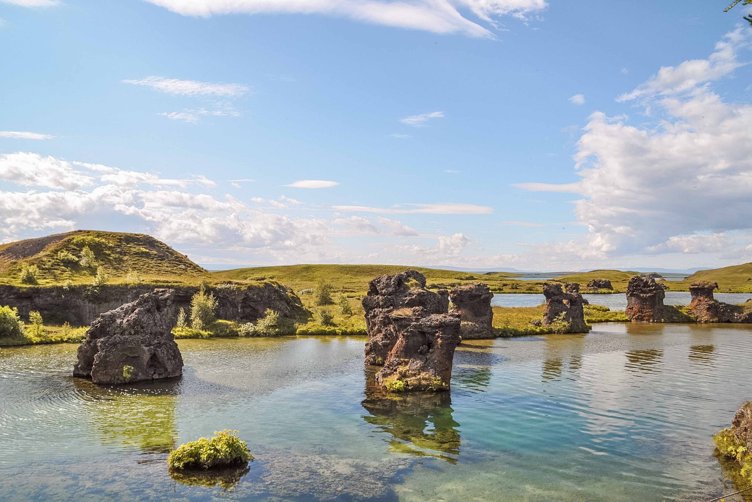
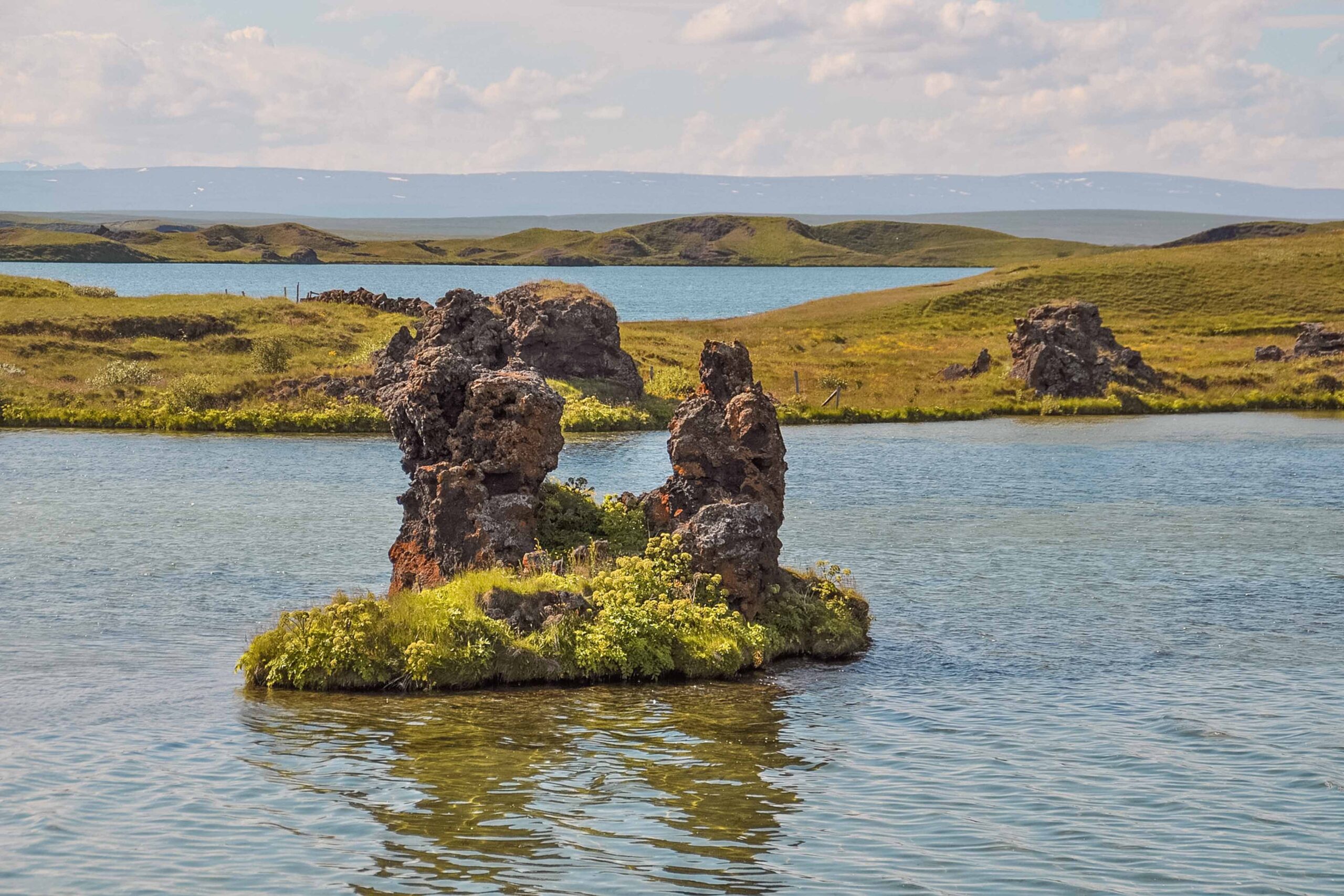
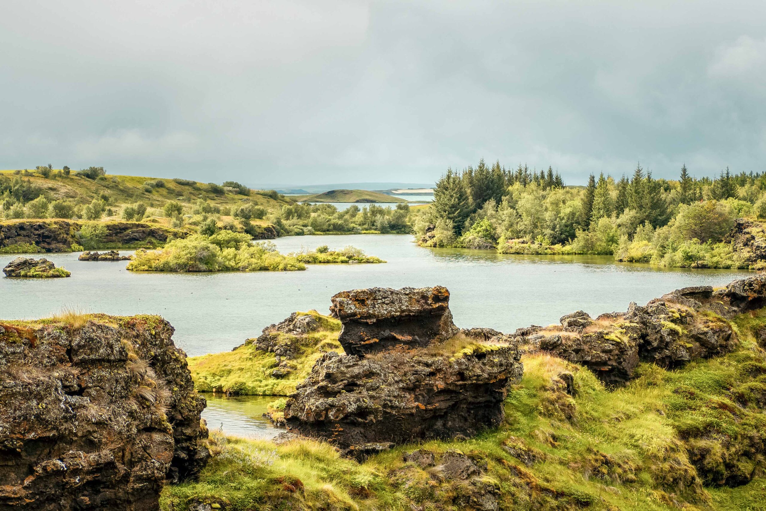
Kalfastrond is a beautiful peninsula located on the southeastern shore of Lake Mývatn. This scenic area is known for its beautiful views of the lake, and abundance of birdlife. You can catch sight of beautiful klasar (lava pillars) and small caves by walking along the footpaths near the shore. Only a 2-minute drive away stands the charming Hofdi peninsula which features a small forest.
📍 Kalfastrond and Hofdi peninsula are both accessible from Route 848, approximately 8 kilometres from Reykjahlíð.
🎟️ Access to both Kalfastrond and Hofdi peninsulas is free.
🕒 Kalfastrond and Hofdi penisulas are open year-round. Account for half an hour to visit the area.
6. Grjótagjá & Stóragjá Caves
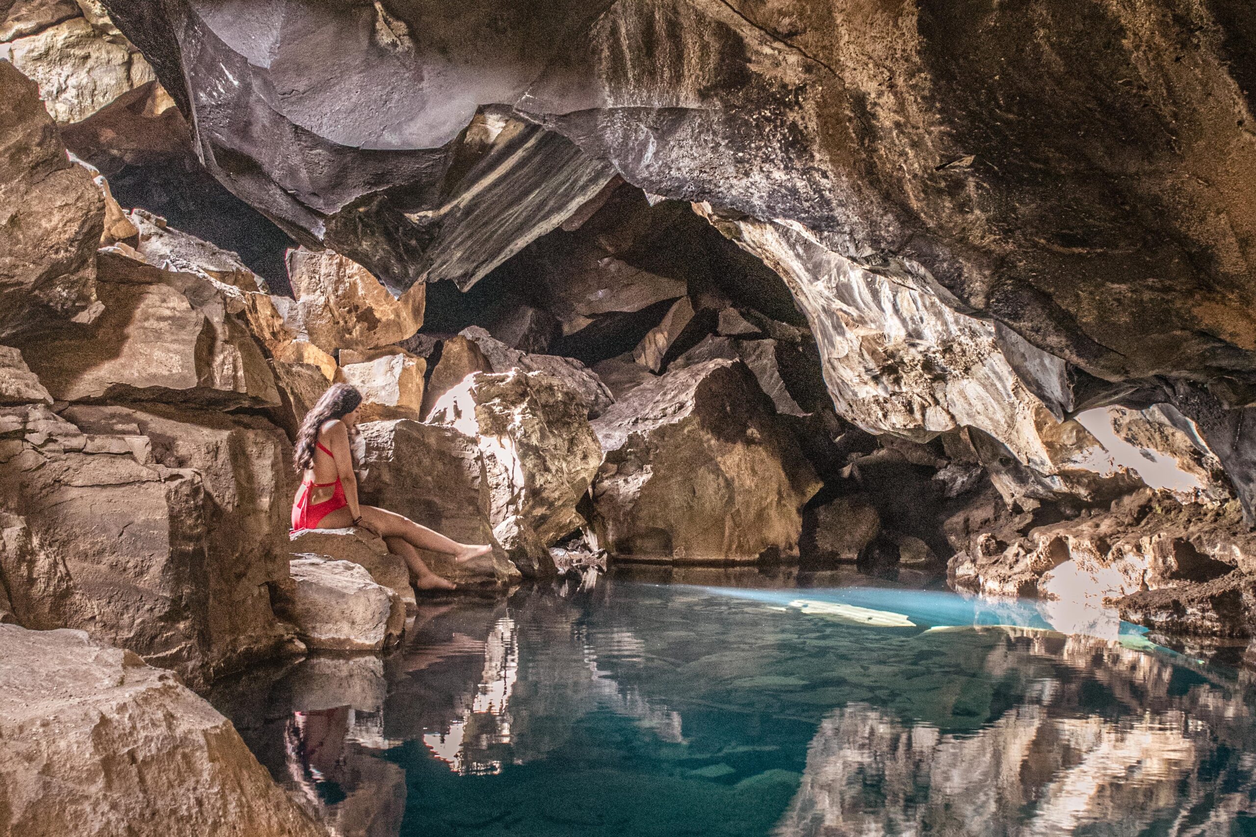
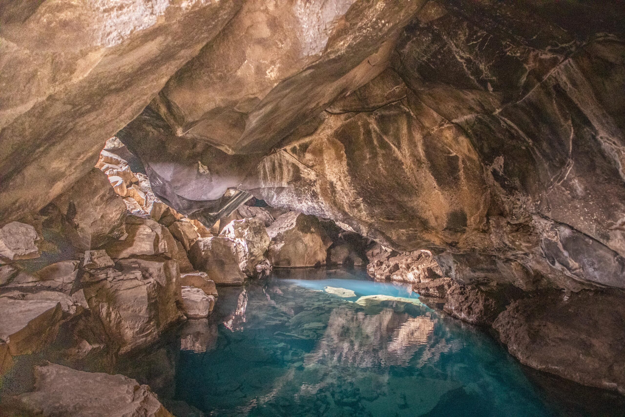
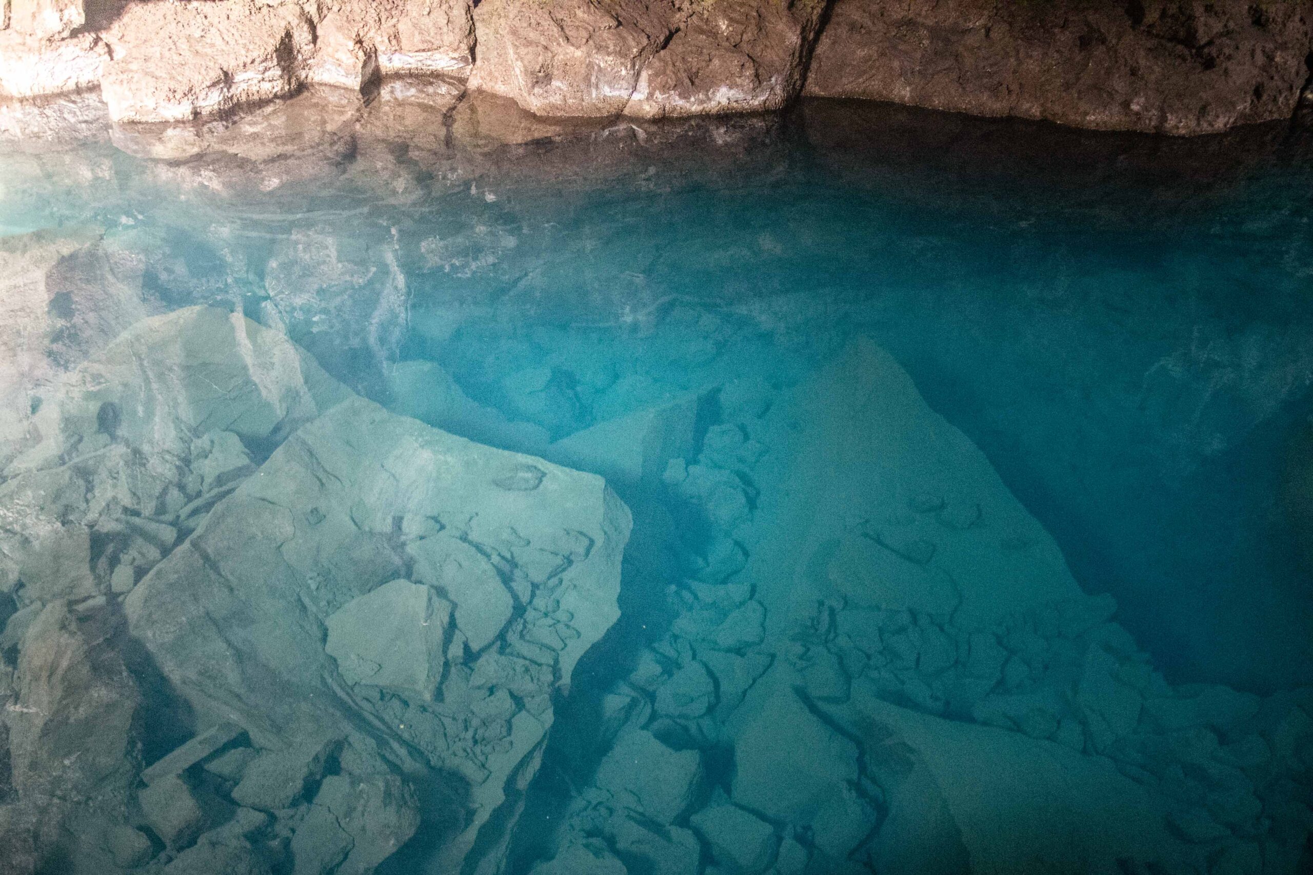
Grjótagjá is a small cave with a natural hot spring inside. The place is wonderful, especially during the moments when the sunlight shines through the openings and illuminates the interior. Although located on private land, the owners allow people to visit it freely. Please note it is absolutely forbidden to bathe in this hot spring. I know the turquoise water is tempting, but don’t let it fool you: it easily reaches 50°C, making it dangerous to soak in, let alone disrespectful. A car park is located just outside Grjótagjá, making it easily accessible.
Stóragjá is another hot spring cave nearby. I didn’t have the chance to visit it but unlike Grjótagjá, it is allowed to bathe there. On the other hand, access is harder, with a mix of steep stairs and rappelling style entrance to get in.
📍 Grjótagjá is accessible from Route 1 (Ring Road) and then Route 860, approximately 4 kilometres from Reykjahlíð.
🎟️ Access to both Grjótagjá and Stóragjá is free.
🕒 Grjótagjá and Stóragjá are open year-round. Account for 15 minutes to visit Grjótagjá.
7. Mývatn Nature Baths
Mývatn Nature Baths is the local’s answer to the famous Blue Lagoon near Reykjavik. The geothermal pools are fed by a natural hot spring and are known for their healing and relaxing properties. There are several milky-blue pools of varying temperatures from 36°C to 40°C as well as a steam bath and a sauna. The views from the baths are stunning, with beautiful vistas of the surrounding mountains and lake. It is a perfect way to relax after a whole day of hiking and driving.
To visit the Nature Baths, you can park your car in the designated lot and purchase tickets at the front desk. The facility offers a variety of amenities, including changing rooms, showers, a café and even a swim-up bar. Additionally, visitors are advised to shower before entering the baths and to remove all jewellery before entering the water.
📍 Mývatn Nature Baths is accessible from Route 1 (Ring Road), approximately 4 kilometres from Reykjahlíð.
🎟️ Admission to Mývatn Nature Baths costs 6200 kr (~41€ / 44$) for adults aged 16+, 3050 kr (~20€ / 22$) for teenagers aged 13-15, and 4100 kr (~27€ / 29$) for disabled, students and seniors. 12 years and younger get a free entrance.
🕒 Mývatn Nature Baths is open year-round. Opening hours are from 10AM to 11 PM in high season (from June 1st). Account for at least 2 hours to make the most out of the (pricey!) admission.
🌐 Find more information on Mývatn Nature Baths’ official website to plan your visit.

8. Viti Crater
The Mývatn Lake area is very close to Krafla volcanic region. Several parking areas have been set up to provide access to various hikes around Krafla, the most popular ones being Viti and Leirhnjúkur craters.
Two major volcanic periods occurred in the last centuries around Mývatn. First, the 'Mývatn Fires', which took place from 1724 to 1729, were characterized by the opening of numerous fissure vents. Then, the 'Krafla Fires' from 1975 to 1984 which involved intermittent fissure eruptions and magma movements.
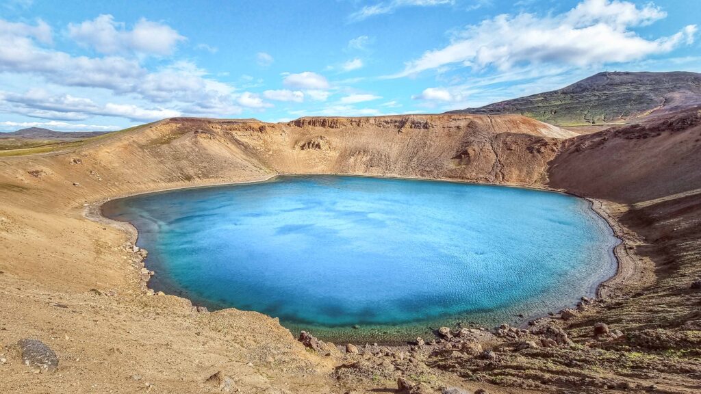
The brownish Viti crater was formed during the Mývatn Fires. It doesn’t look spectacular at first sight, but it holds a beautiful treasure: a 300-metre bright blue lake. It isn’t possible to swim there (unlike the homonymous Viti lake located in the Askja Highlands) but it shouldn’t hold you from admiring the views from the top of the crater.
📍 Viti crater is accessible from Route 1 (Ring Road) and then Route 863, approximately 15 kilometres from Reykjahlíð.
🎟️ Access to the Viti crater is free.
🕒 Viti crater is open year-round. Account for 30 minutes to walk around the crater.
9. Leirhnjúkur crater
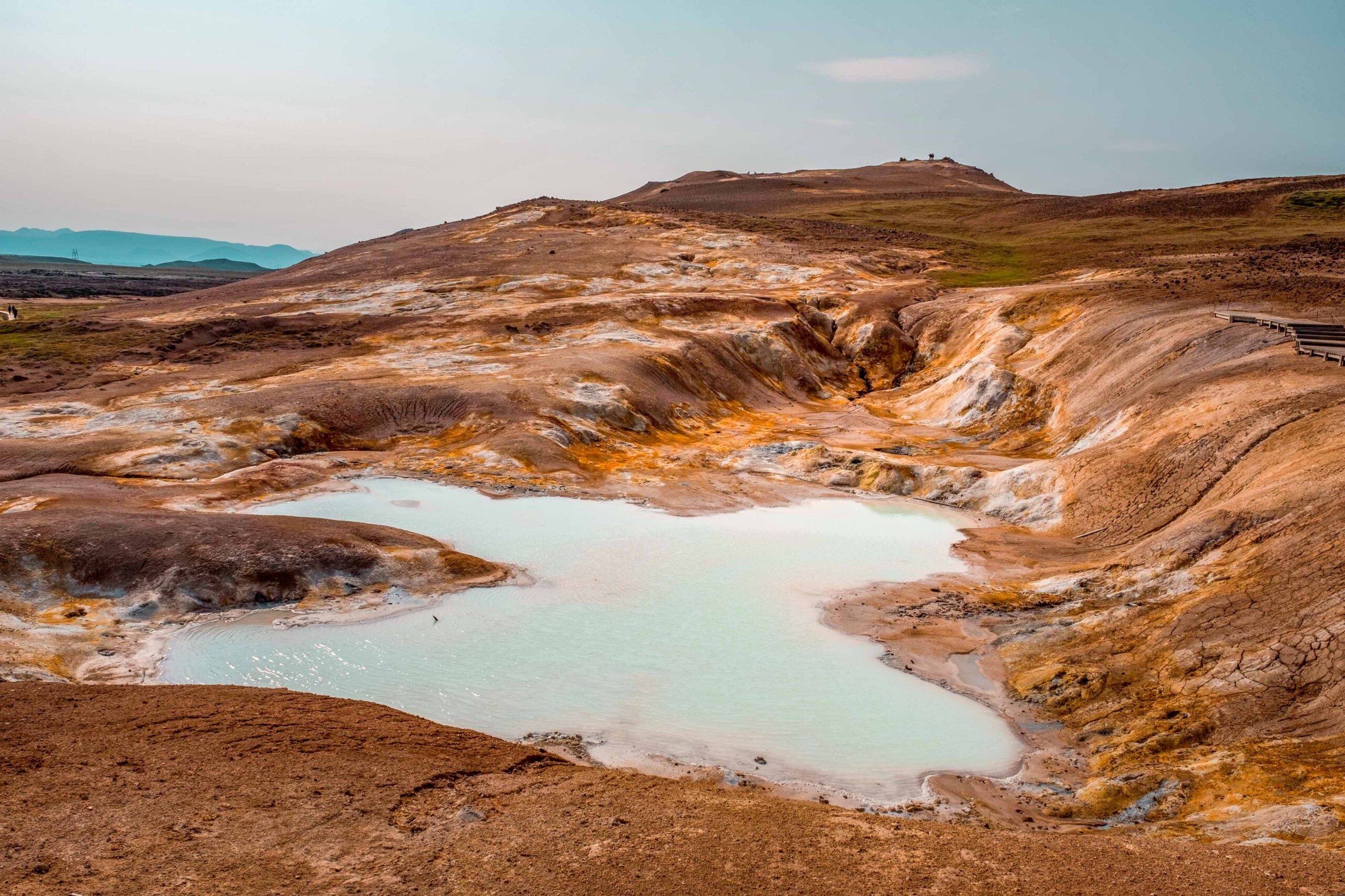
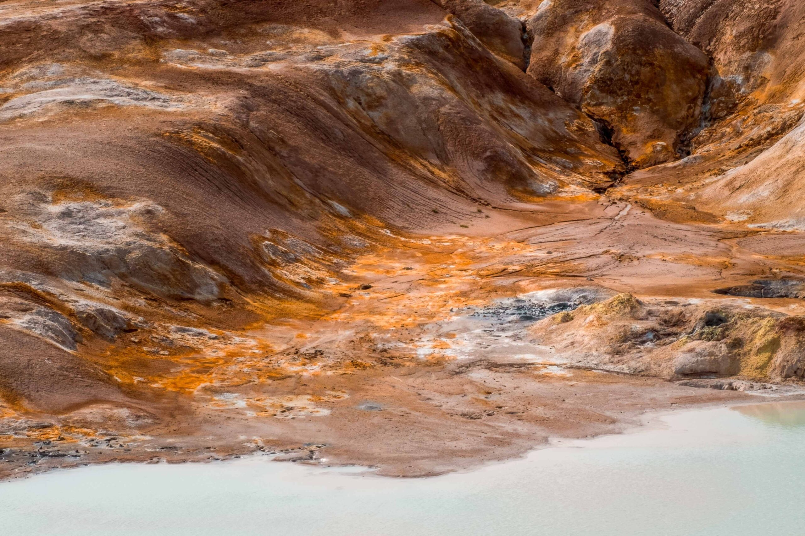
The Leirhnjúkur crater and its solfataras are Krafla’s most remarkable and potentially hazardous attraction. These features emerged during the Mývatn Fires as a lava fountain that spewed molten material for two years before dissipating. Two centuries later, during the Krafla Fires, Leirhnjúkur became the ominous-looking, sulfur-encrusted mudhole that visitors adore today. The earth’s crust in this area is exceedingly thin, and certain sections of the ground are intensely hot. A well-marked path leads northwest from the Krafla parking area to Leirhnjúkur. Given the volcanic activity, high temperatures, bubbling mud pots, and steaming vents, staying on the designated paths is mandatory.
📍 Leirhnjúkur crater is accessible from Route 1 (Ring Road) and then Route 863, approximately 14 kilometres from Reykjahlíð.
🎟️ Access to the Leirhnjúkur crater is free.
🕒 Leirhnjúkur crater is open year-round. Account for 1 hour and a half for the whole hike.
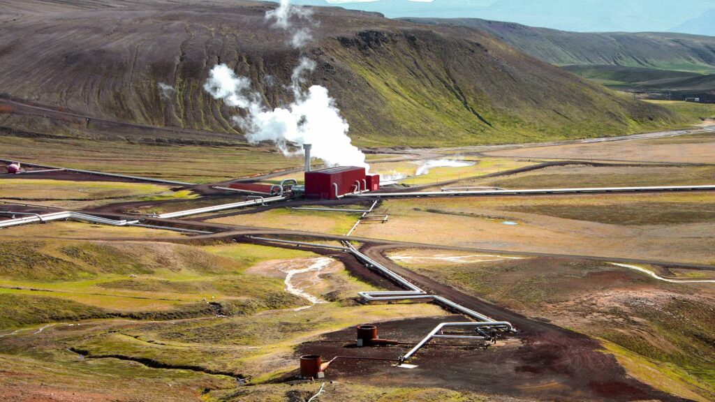
10. Krafla Power Station
In 1973, the proposal to build a geothermal power station at Krafla was initiated, and early groundwork began with the drilling of test holes to assess the project’s viability. However, in 1975, the ‘Krafla Fires’ occurred and put the project on a temporary hold. Despite this event, the construction was completed in 1977 and the power station has been active ever since. Krafla Power station utilizes the natural geothermal energy of the region to generate electricity, which is then distributed to the local community and other parts of the country.
Wanting to promote the positive environmental aspects of geothermal energy, Landsvirkjun – the company owning this power plant – opened its doors to the public. A visitor centre featuring videos and explanatory posters provides an overview of its operations. The Krafla Power Station is an educational place for anyone interested in sustainable energy and the geological wonders of Iceland.
📍 Krafla power plant is accessible from Route 1 (Ring Road) and then Route 863, approximately 13 kilometres from Reykjahlíð.
🎟️ Access to the Krafla power plant is free.
🕒 Krafla power plant is open from 10AM to 5PM between June and mid-September.
11. Krafla Perpetual shower
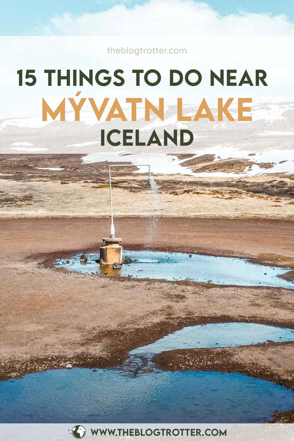
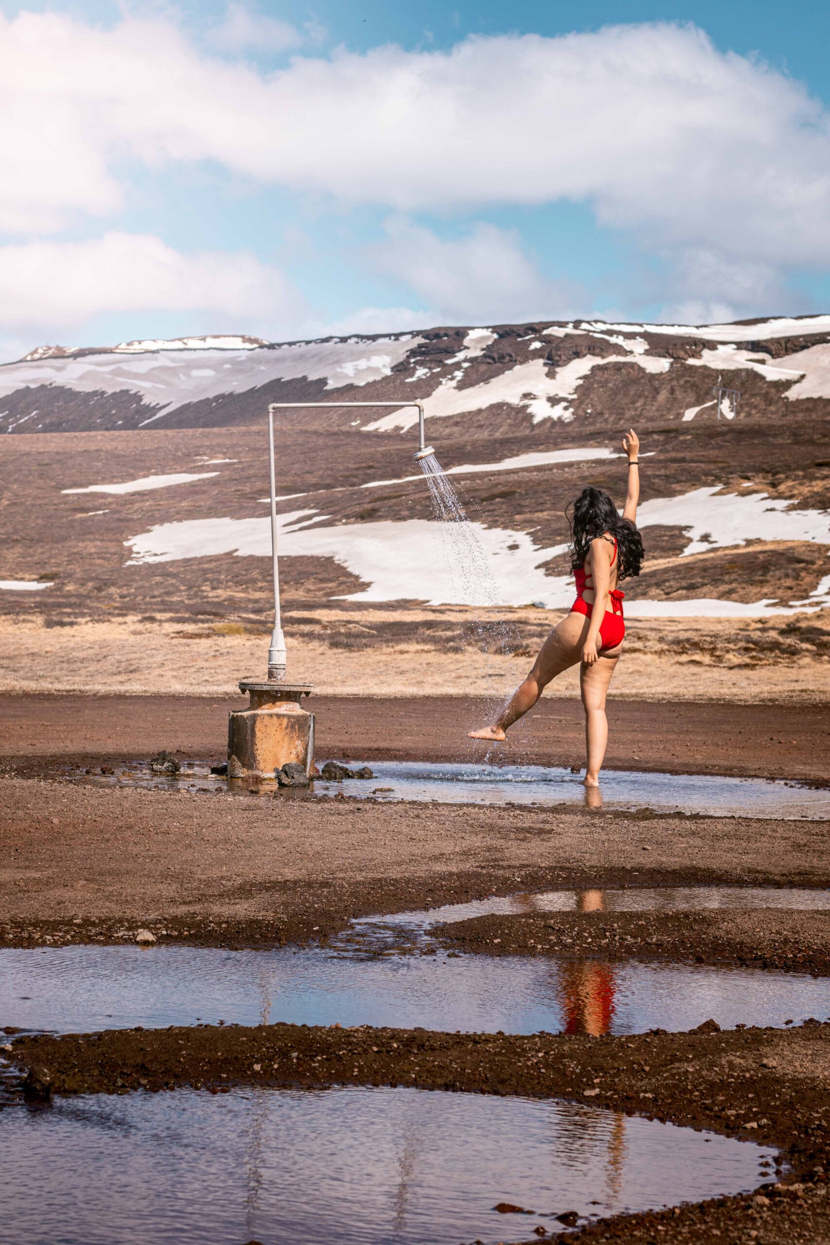
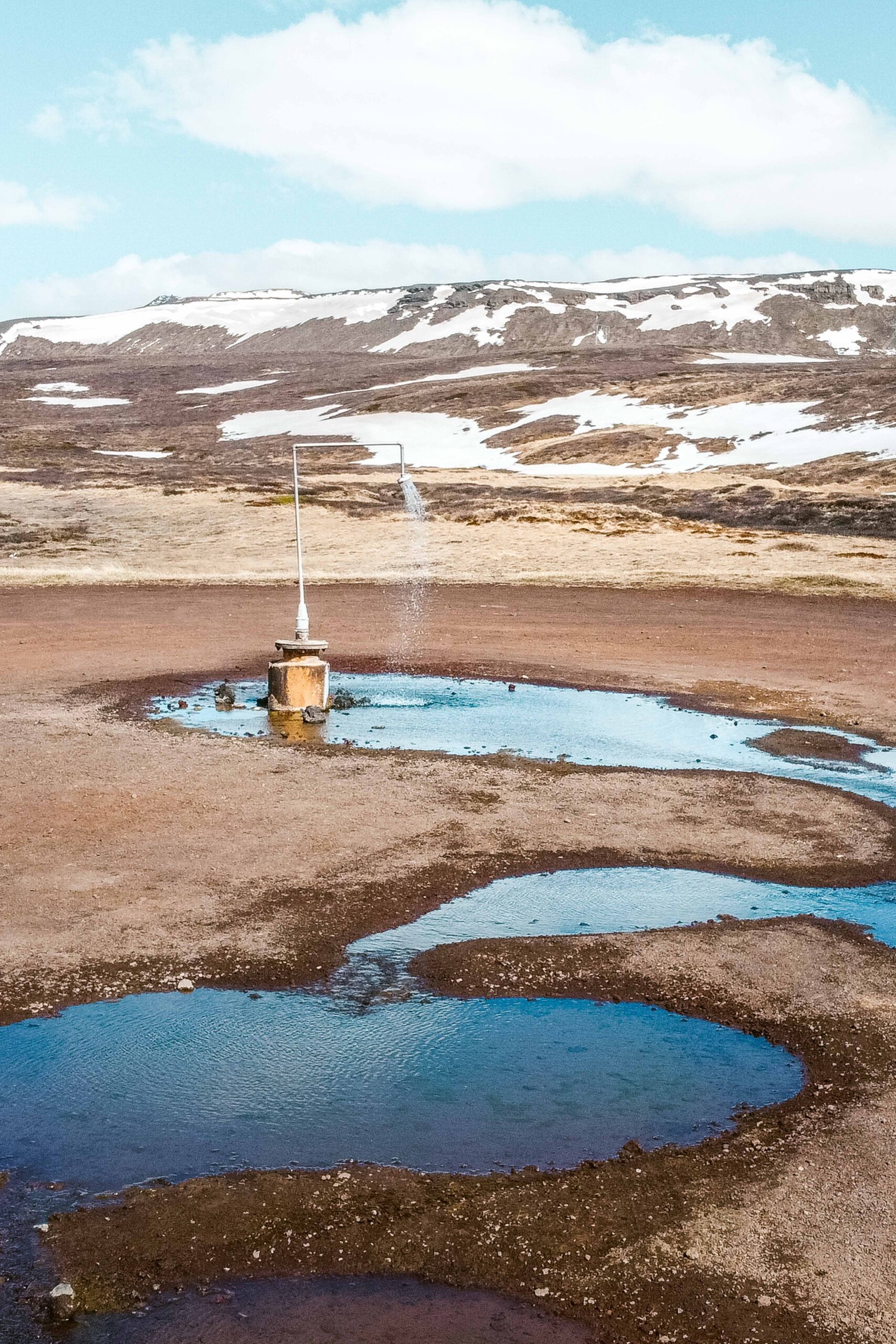
Only a few minutes away from Krafla power station, stands one of my favourite hidden-gem location in Mývatn area. Picture this: an infinite hot shower located in the middle of the Icelandic wilderness! Would you dare try? If so, all you have to do is to park your car on the roadside, put on a swimsuit and go!
📍 Krafla perpetual shower is accessible from Route 1 (Ring Road) and then Route 863, approximately 11 kilometres from Reykjahlíð. Look for “Hot Spring Shower” on GoogleMaps to find the location.
🎟️ Access to the Krafla perpetual shower is free.
🕒 Krafla perpetual shower is open year-round.
12. Bird-watching & Sigurgeir’s Bird Museum
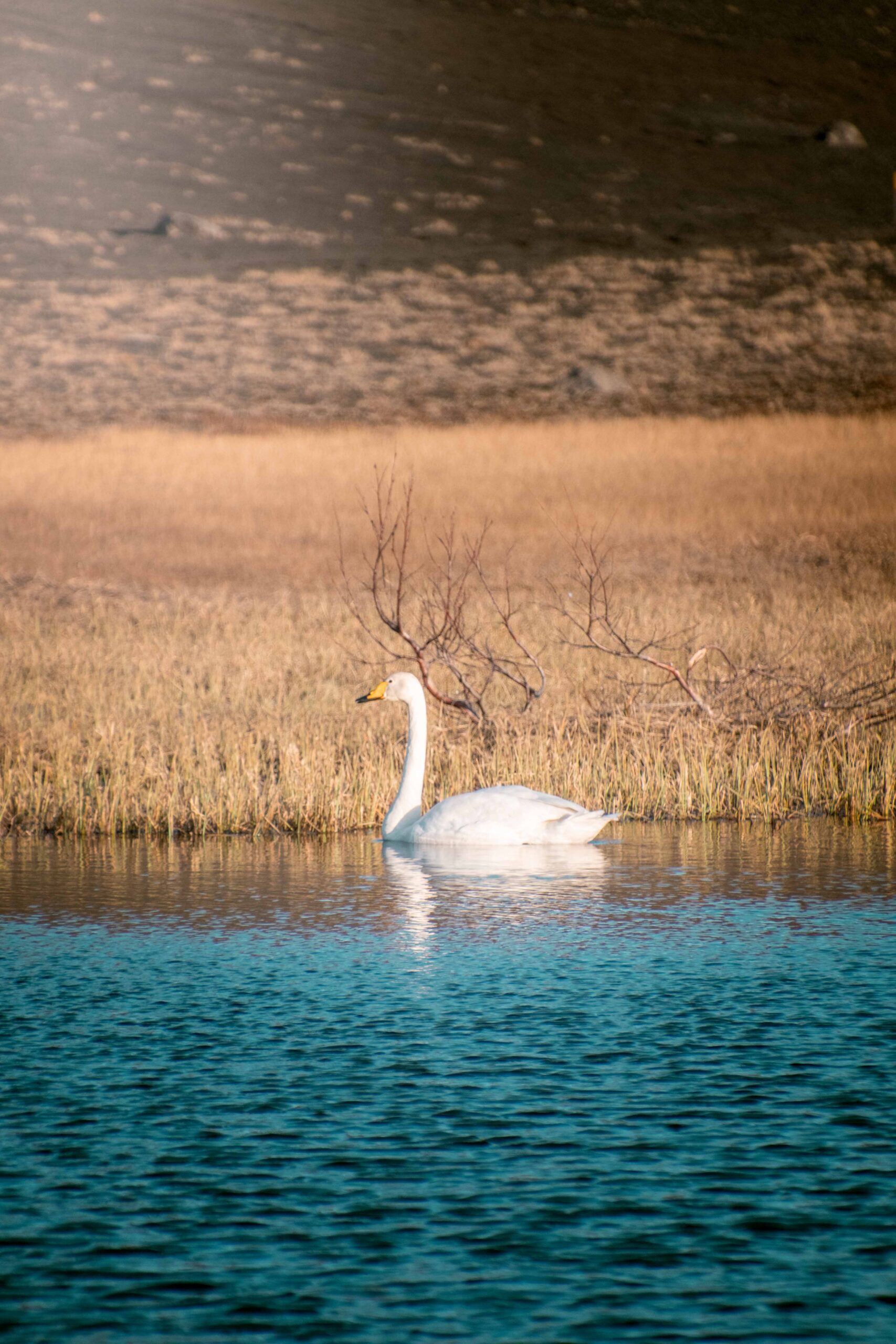
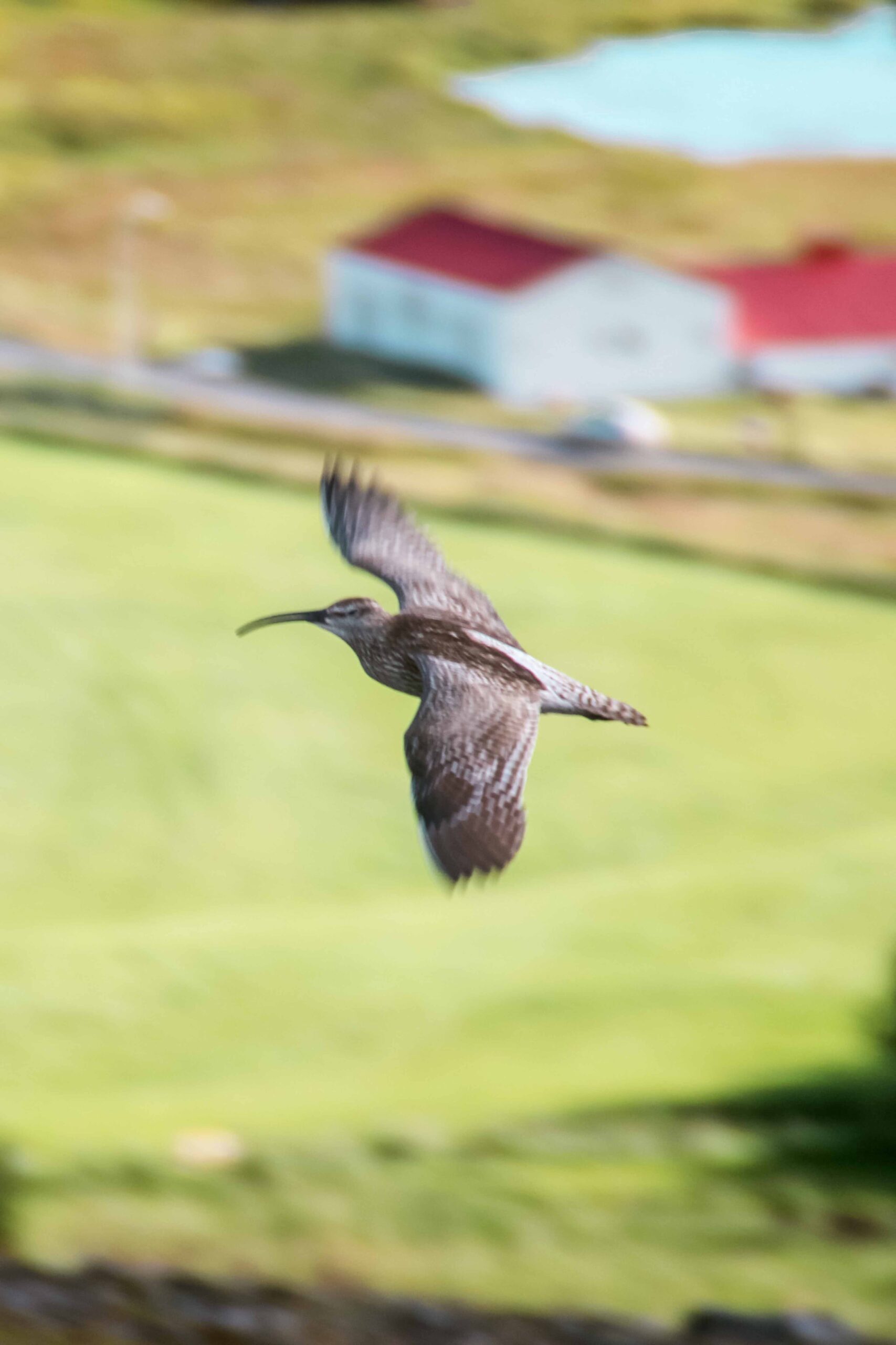
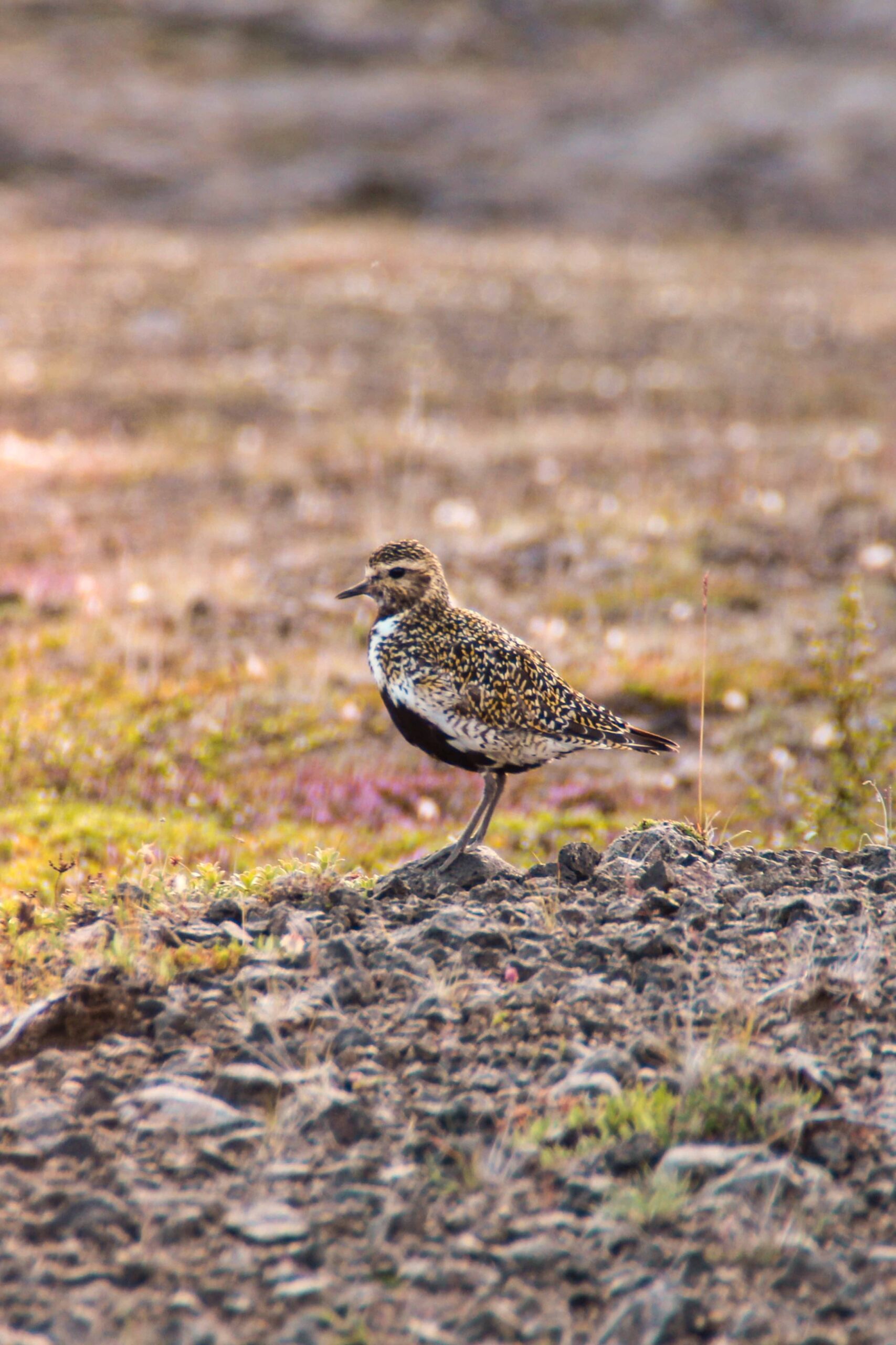
Mývatn and the surrounding area is a paradise for bird watchers, with a wide variety of species that make their home in the region. The area is home to more than 100 hundred species, including ducks, geese, and swans, as well as various shorebirds, gulls, and terns. Some companies organise guided bird-watching tours – most often from May to mid-July – with experienced guides who can help identify the various species and offer insights into their behaviour and ecology. If you would rather go on a self-guided birding session, you can go to Neslandavík and Álar, which are located on the western shore of Mývatn Lake and are considered to be two of the best spots for birdwatching in the area.
They are both conveniently located near the Sigurgeir’s Bird Museum, which is one of the best places to learn more about the birds of the region. The museum is named after its founder, Sigurgeir Stefansson, who was a renowned Icelandic ornithologist and bird photographer. The museum contains an extensive collection of stuffed specimens and eggs (all Icelandic breeding birds, minus the sea eagle!). In adition to the exhibis, the museum features a cafe, lends high-tech telescopes to birdwatchers, and offers hides for rent.
📍 Sigurgeir’s Bird Museum is accessible from Route 1 (Ring Road), approximately 8 kilometres from Reykjahlíð.
🎟️ Admission to Sigurgeir’s Bird Museum costs 2400 kr (~16€ / 17$) for adults, 1400 kr (~9€ / 10$) for children aged 7-14 and seniors.
🕒 Sigurgeir’s Bird Museum is open year-round from 2PM to 4PM (12PM to 5PM from June 1st to August 31st).
🌐 Find more information on Sigurgeir’s Bird Museum‘s official website to plan your visit.
13. Vindbelgjarfjall mountain
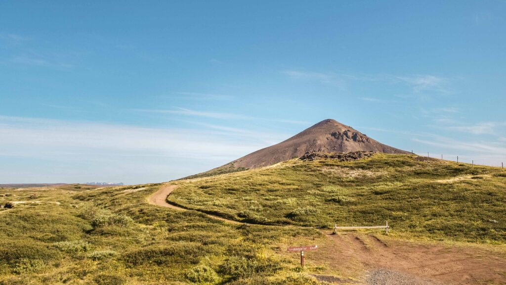
Vindbelgjarfjall is a volcanic mountain located near Mývatn Lake’s western shore. It offers stunning views across the lake and its extraterrestrial pseudocraters. It is a great location for hikers and nature lovers who want to experience the beauty of the Mývatn from a different perspective.
To climb to the top of the mountain, start at the ‘Vindbelgur’ car park located near the Vagnbrekka farm. On the first half of this 2.4-kilometres hike, a path takes you to the foot of Vindbelgjarfjall. Then, continue your ascent on a steep narrow track of dirt and stones that winds up to the 529-metre summit.
📍 Vindvelgur car park is located on Route the Ring Road (Route 1), approximately 7 kilometres from Reykjahlíð.
🎟️ Access to Vindbelgjarfjall mountain is free.
🕒 The trail to Vindbelgjarfjall may be closed during the winter months due to snow and ice. Depending on your pace and weather conditions, account for between 2 hours and 3 hours for the round-hike.
14. Northern Lights
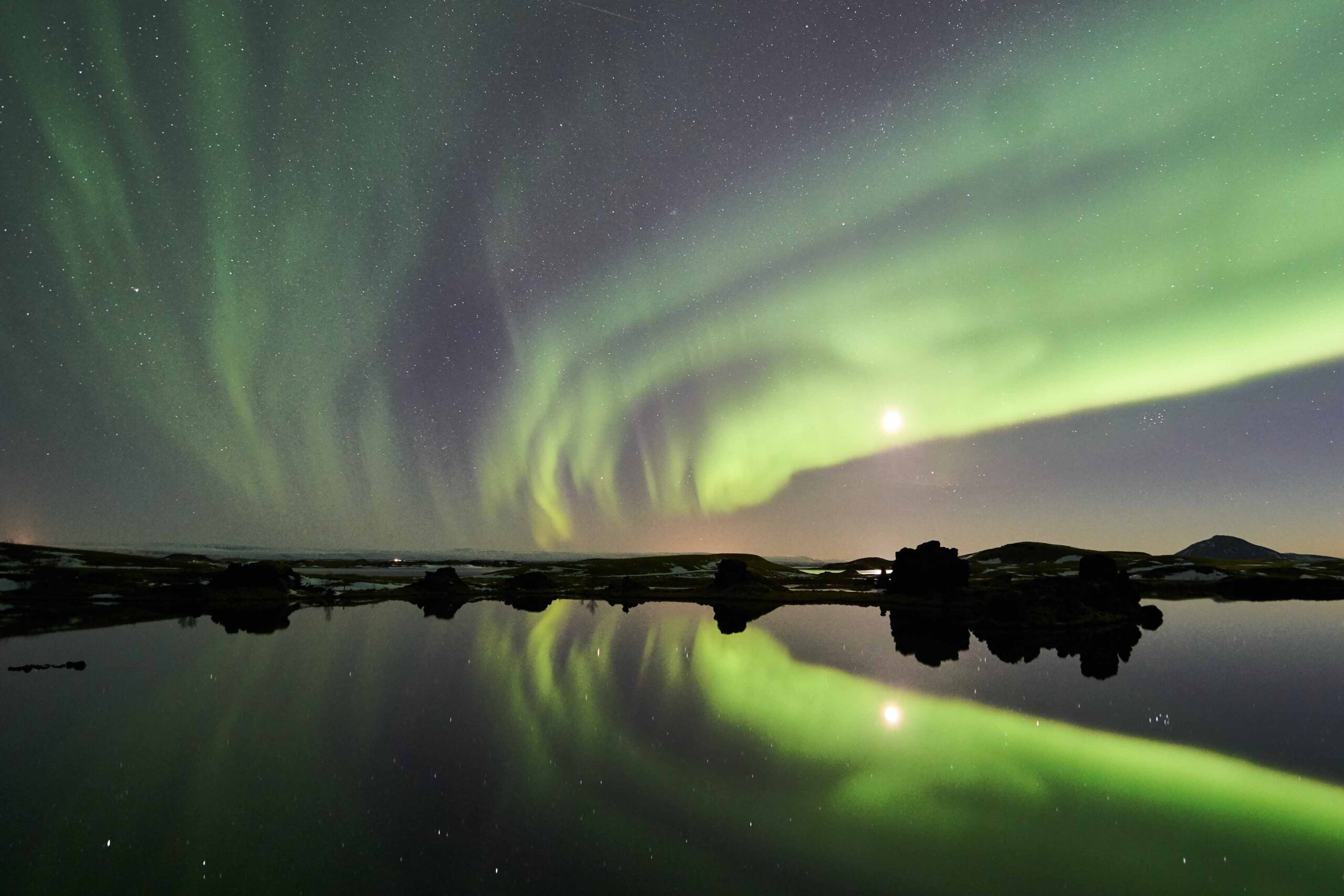
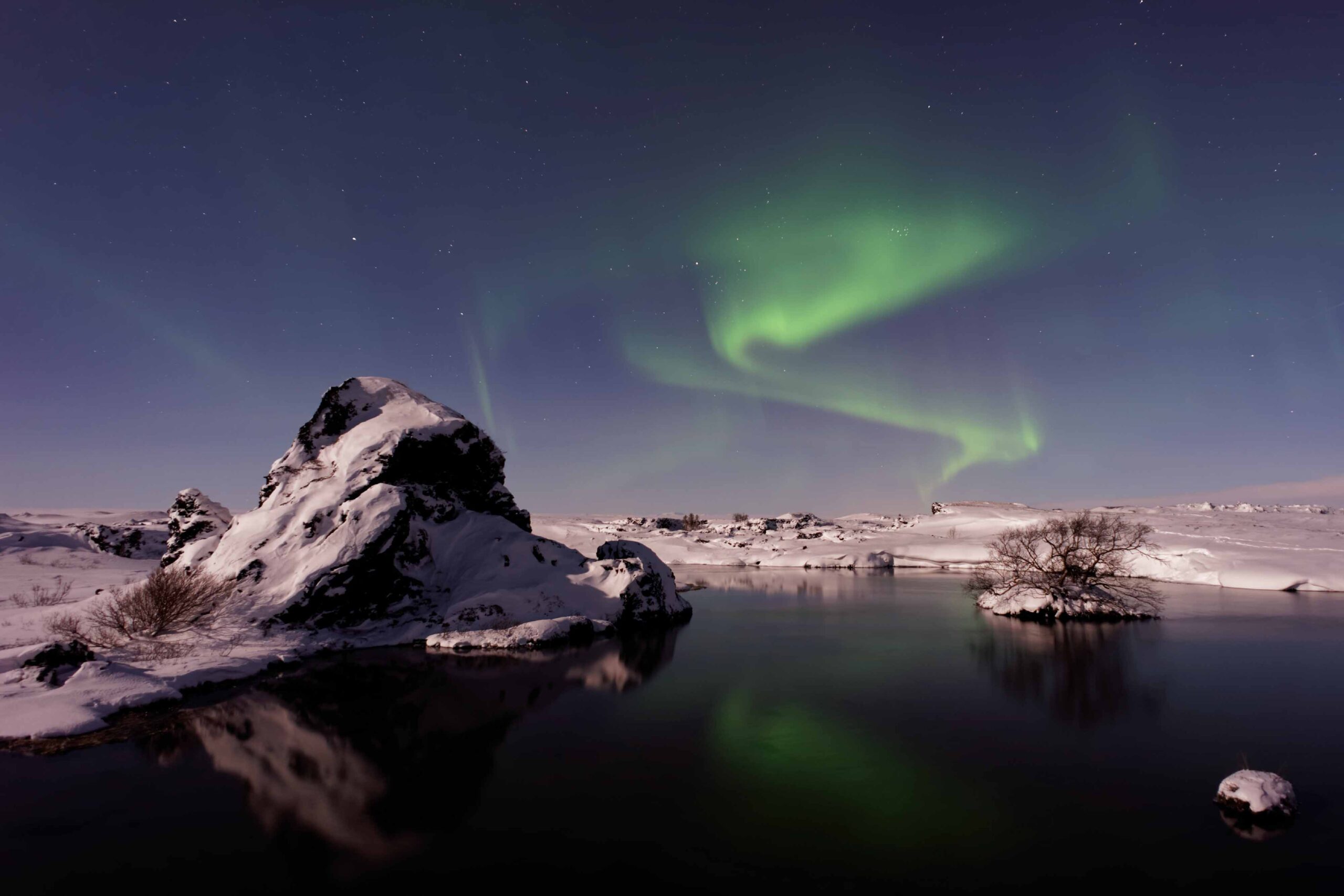
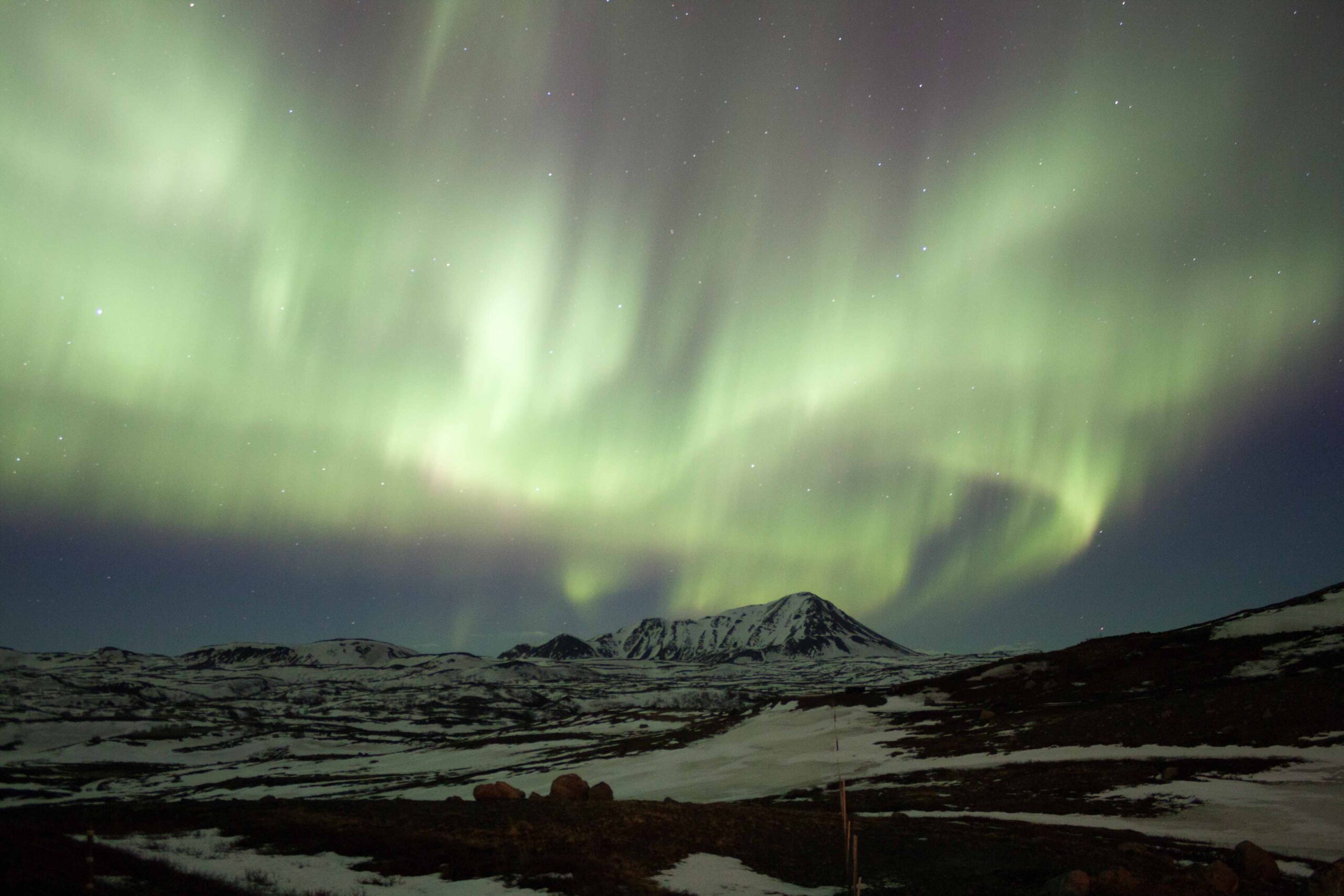
Mývatn is known as the “Northern lights capital of Iceland”. This is due to its ideal location in the aurora zone, where the probability of seeing the northern lights is high from mid-September to mid-April. Visitors can witness the magical dance of the lights illuminating the dark winter sky, creating a breathtaking spectacle of colours and shapes. The combination of clear skies and low light pollution also enhances the viewing experience, making Mývatn a popular destination for aurora enthusiasts. Whether you choose to watch the lights from the comfort of your accommodation or venture out on a guided tour, witnessing the northern lights is an unforgettable experience.
15. Sightseeing flight
Being so small and remote, most visitors wouldn’t assume there is an airport in Reykjahlíð. They would be wrong though! Located at Reykjahlíð airport (‘Mývatnsflugvöllur’), Mýflug Air has operated sightseeing aerial tours of the Mývatn area and North Iceland for the last 30 years. Prices start at 23000 kr (~150€ / 160$) for a 20-minute tour over Mývatn Lake and its immediate surroundings. Find more information on Mýflug Air’s official website.
More ideas near Mývatn Lake area (less than a 1-hour drive away)
16. Dettifoss waterfall
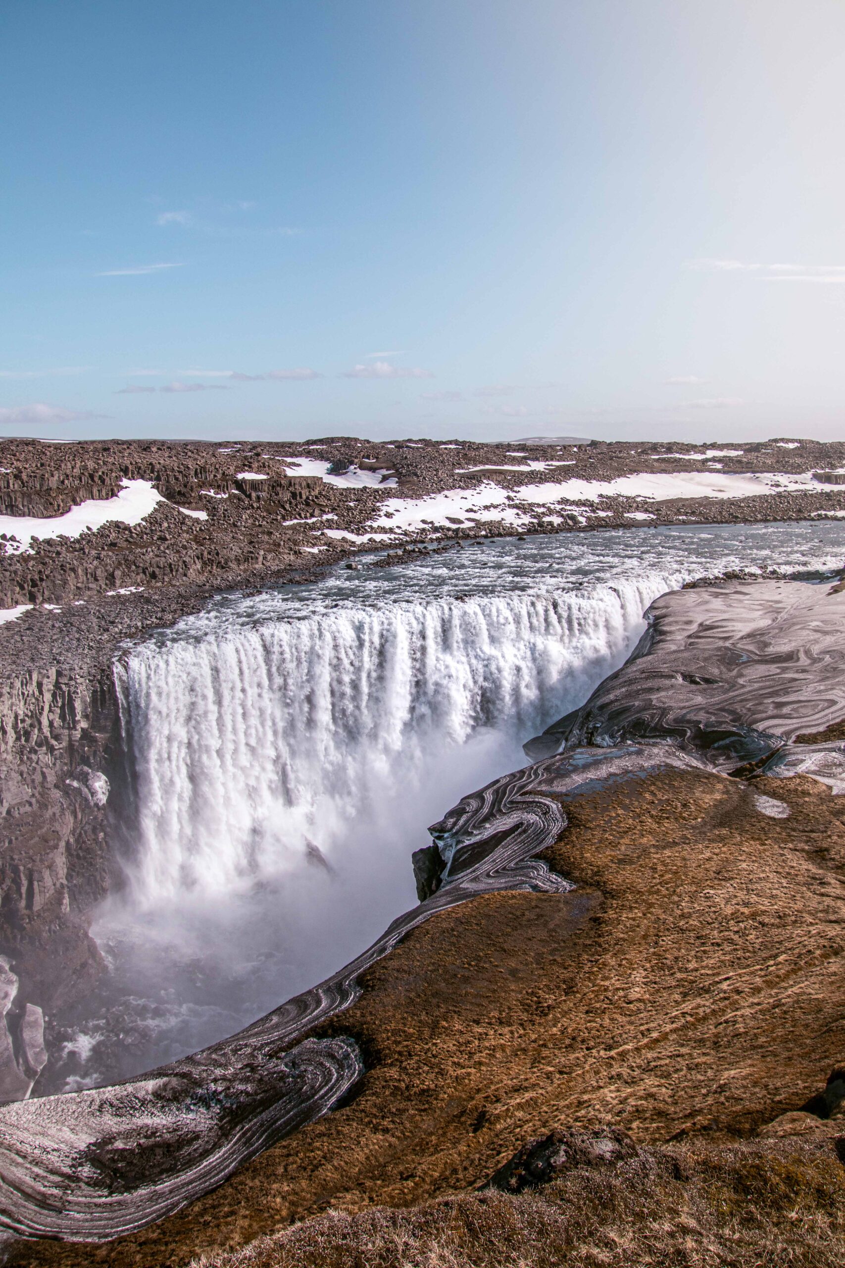
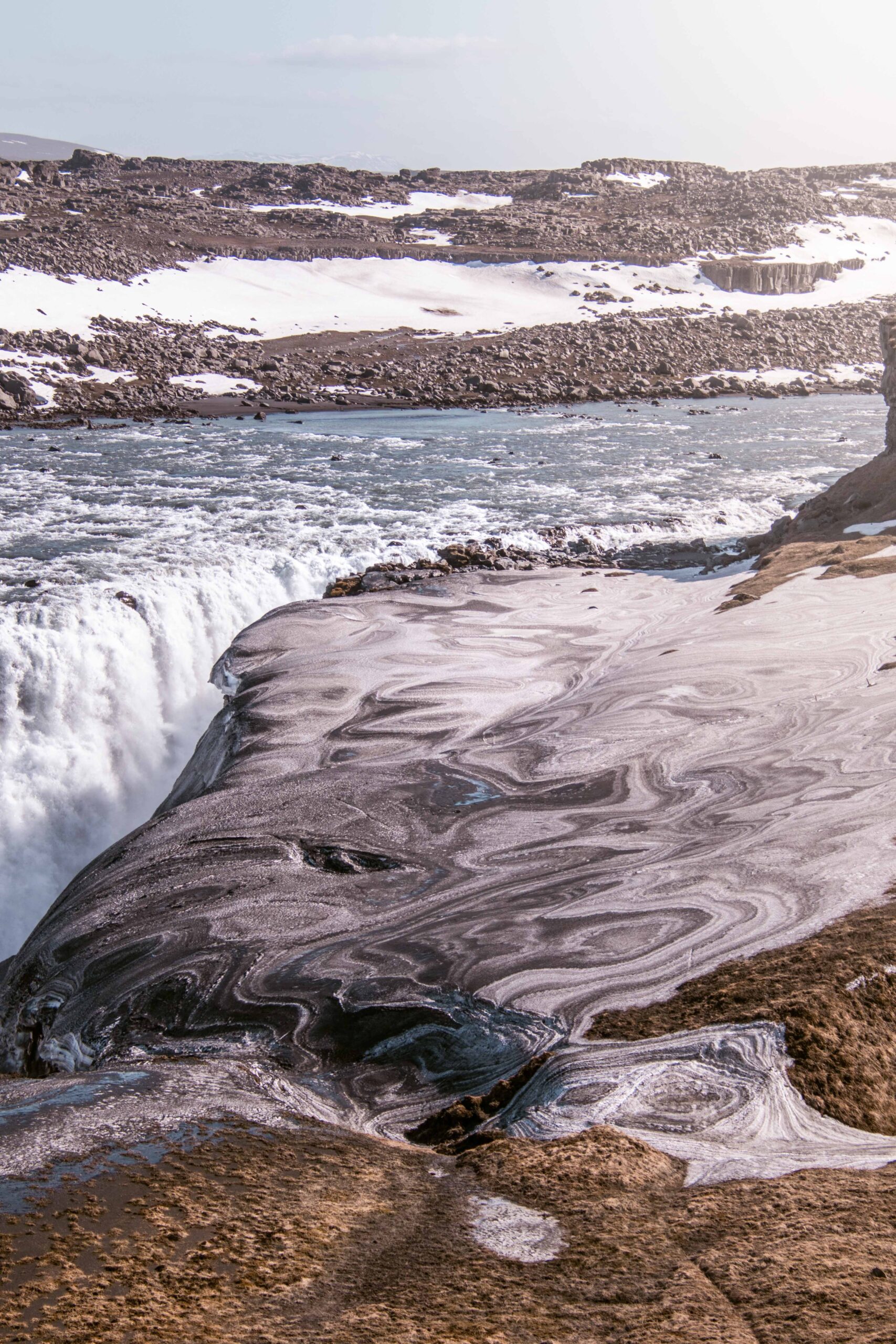
It’s hard to put the magnificence of Dettifoss into words. And for good reason: it is the most powerful waterfall in Europe. At 44 meters high and 100 meters wide, Dettifoss has an astonishing volume of 193 cubic meters of water falling every second. Yes; each second. More than 1km from the waterfall, from the dirt road near the parking lot on the west bank, the dull and mysterious rumble is already perceptible. It intensifies as you get closer, becoming dizzying once you get to the site. On a clear day, magnificent double rainbows rise above the turbulent milky gray glacial waters.
Dettifoss can be admired from either bank of the canyon, both offering stunning views of the waterfall. A sealed roadway, Route 862, connects the Ring Road to the western bank of Dettifoss, culminating in a spacious parking lot with restroom facilities. From there, a 2.5km circular hike offers a stunning view of Dettifoss from the canyon’s edge, as well as vistas of a smaller waterfall nearby, Selfoss. It is also possible to reach the main viewpoint directly with a short 15-20 minutes hike. The East bank, on the other hand, is more complicated to reach but allows one to get closer to the waterfall.
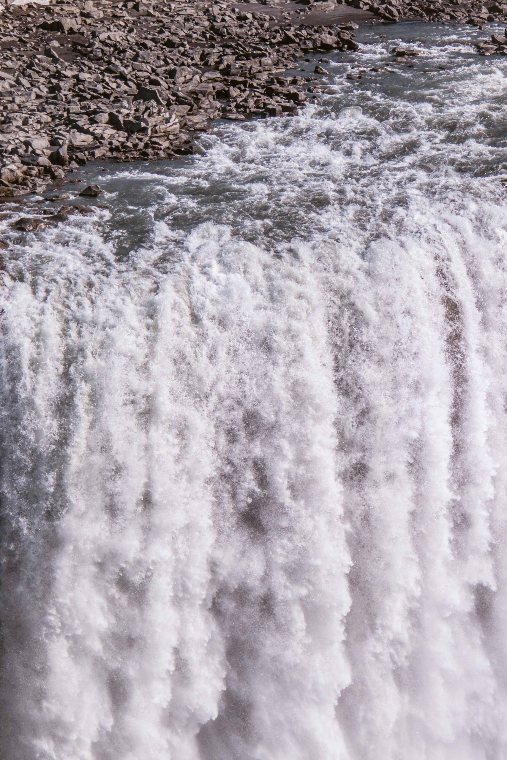
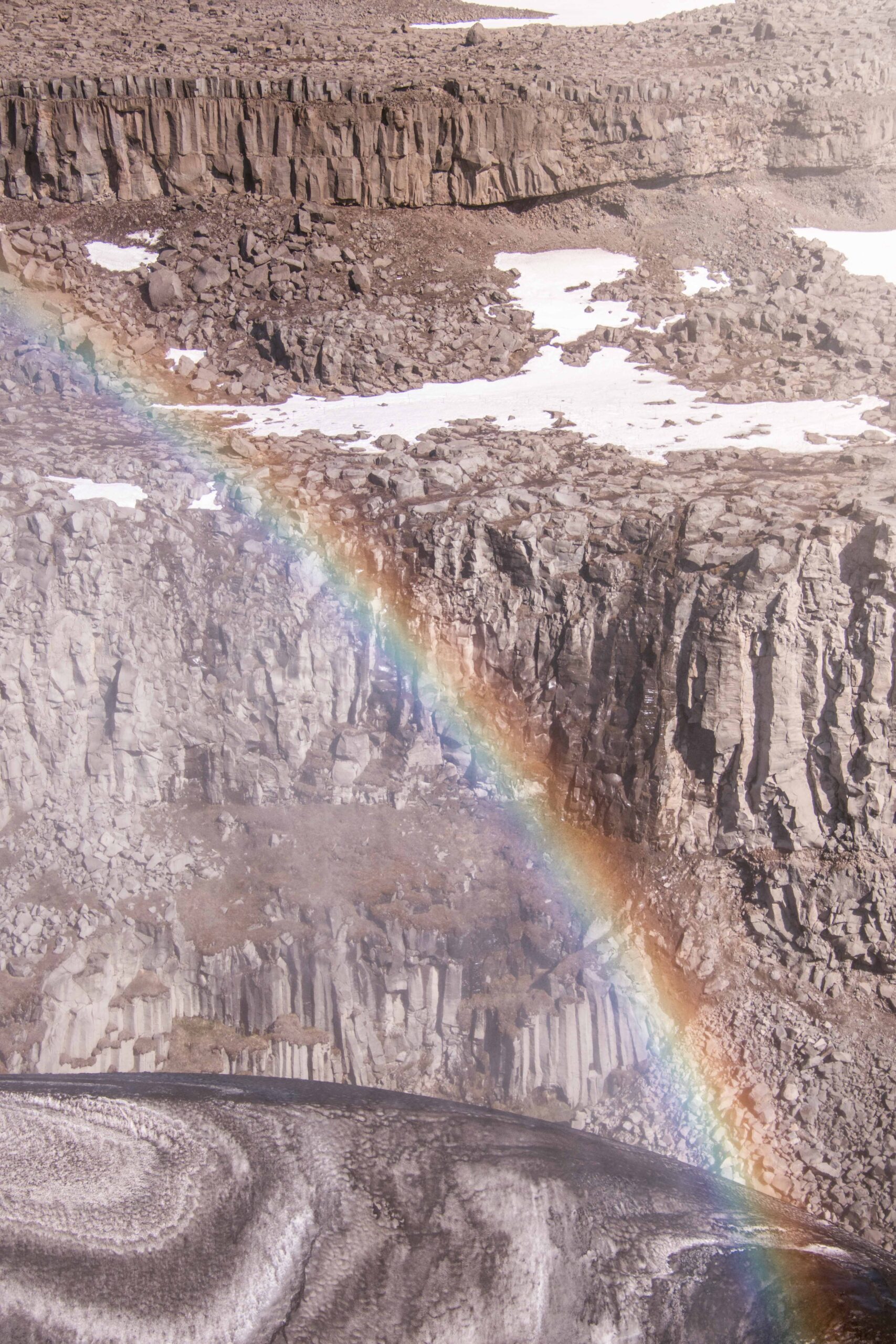
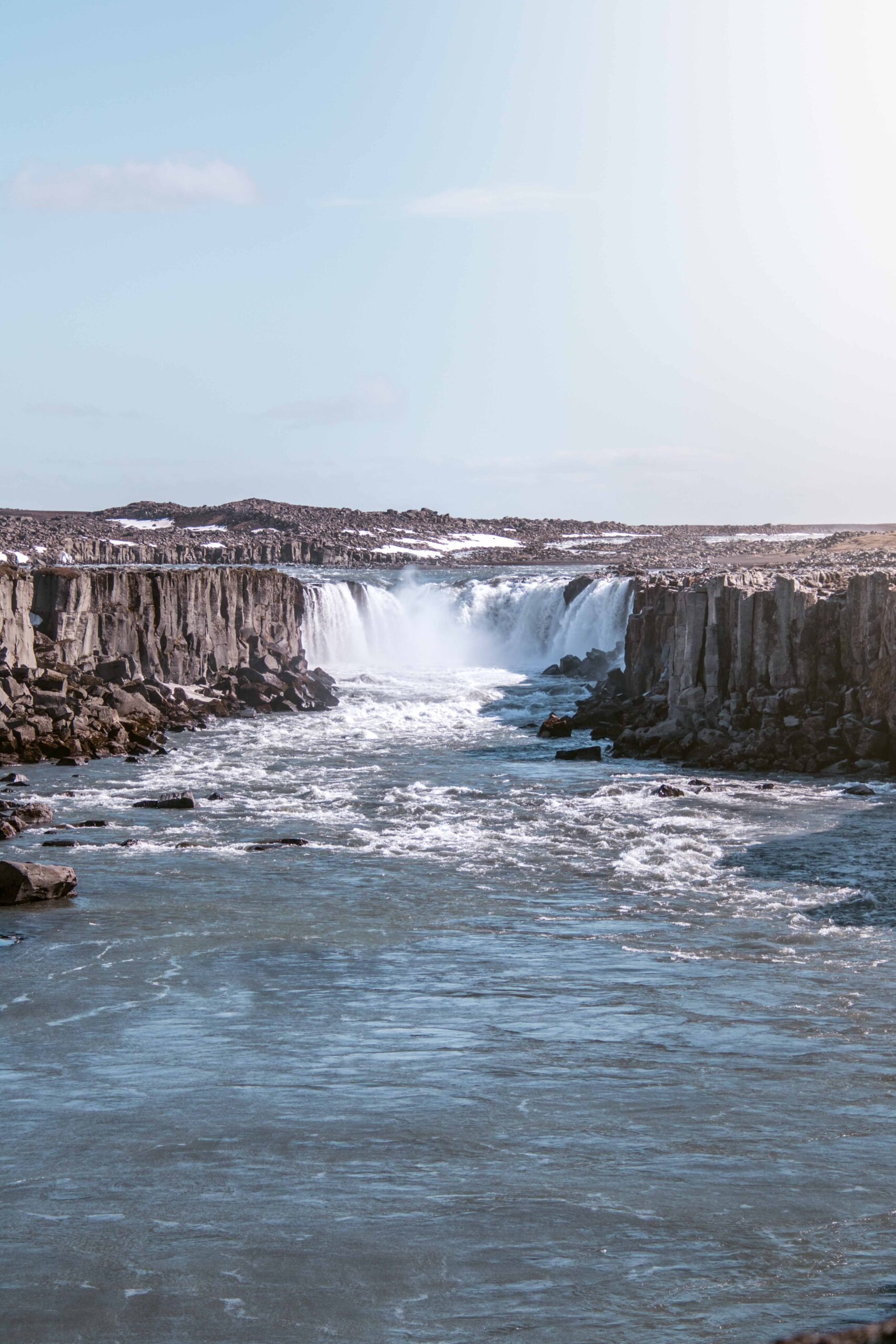
📍 Dettifoss’ West bank is accessible from Route 862 heading north from the Ring Road. The turnoff is located 27km east of Reykjahlíð, and from there it’s a smooth 24km drive on a sealed road to reach the waterfall. If you prefer to approach the waterfall from the eastern side of the river, you can take Route 864, which is a gravel road stretching 60km from the Ring Road to Ásbyrgi. While it’s not an F road, navigating with a 2WD vehicle can be challenging, and it is only open in summer. Check road conditions beforehand on Road.is.
🎟️ Access to Dettifoss is free.
🕒 Dettifoss’ West bank is open year-round; while the East bank is only accessible during summer. Account for at least 1 hour there.
17. Goðafoss waterfall
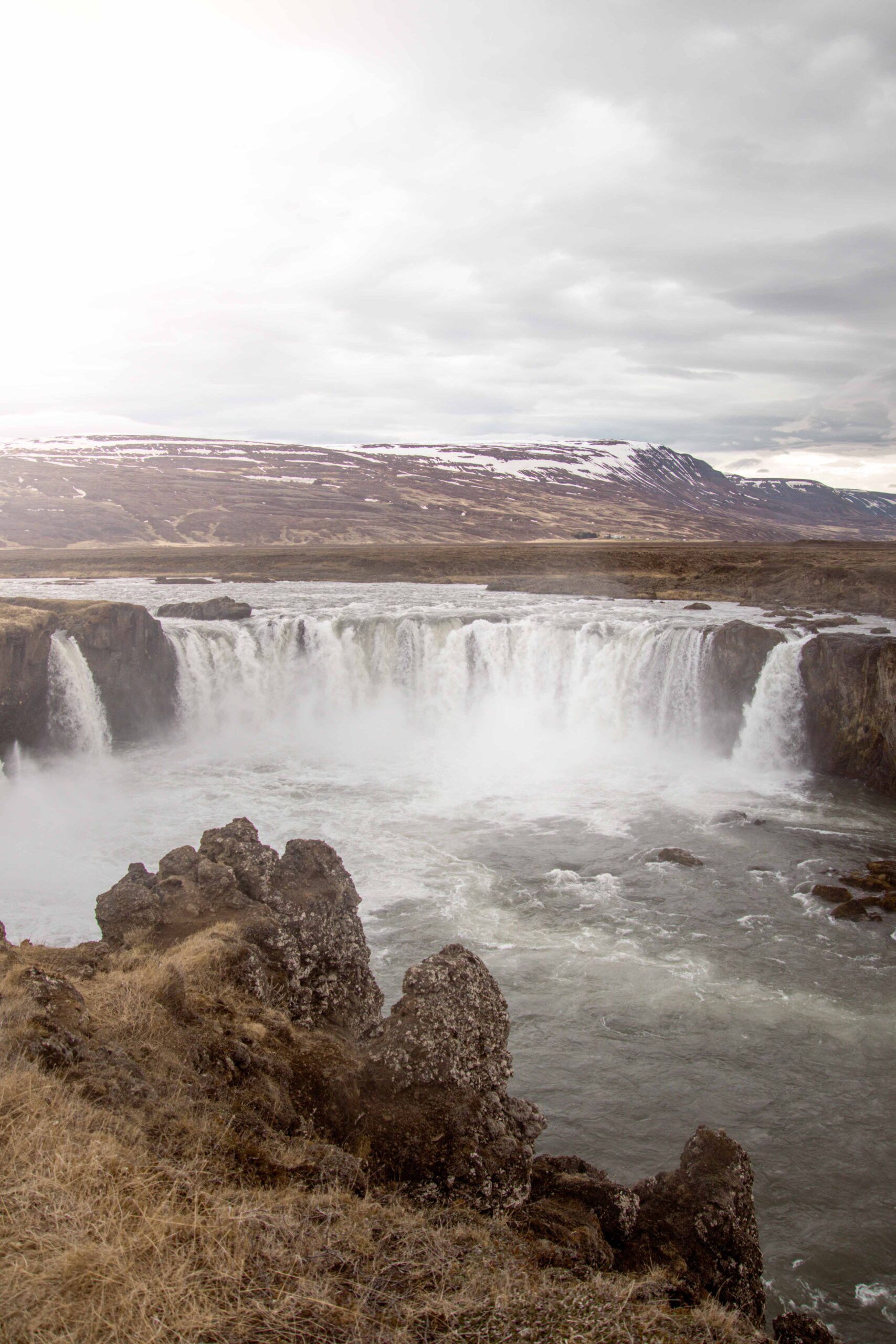
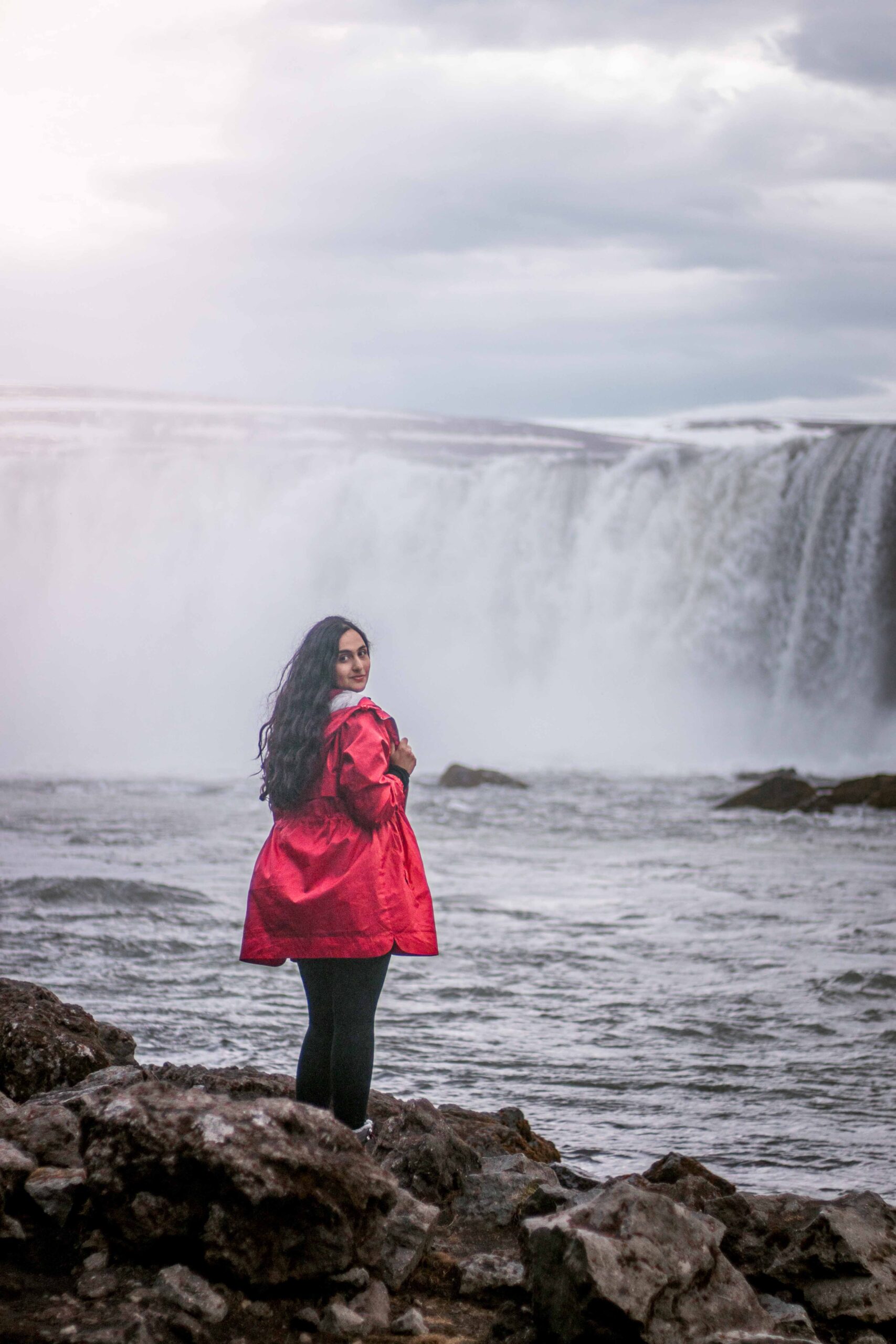
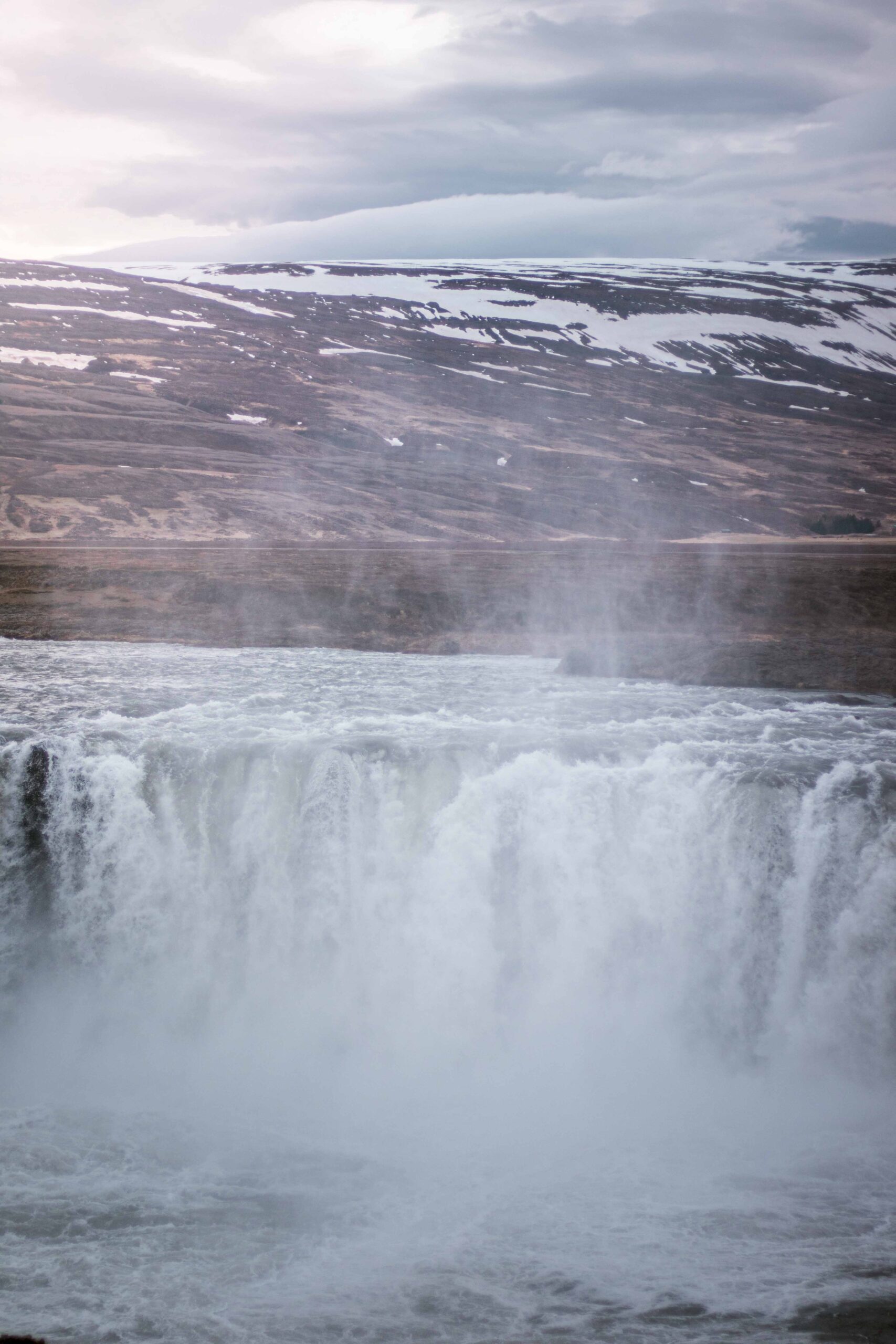
Goðafoss is a beautiful waterfall in northern Iceland, between Akureyri and Mývatn Lake. It is considered one of the most picturesque waterfalls in Iceland, with a width of 30 meters and a drop of 12 meters into a crystal-clear pool below. The name Goðafoss means “waterfall of the gods“. It is said that in the year 1000, after the adoption of Christianity in Iceland, the pagan chieftain Thorgeir Thorkelsson threw his pagan statues of the Norse gods, resulting in the renaming of the falls.
Visitors can access Goðafoss from either the east or the west side, with both sides offering stunning views of the waterfall and the surrounding landscape. The best time to visit Goðafoss is during the summer when the waterfall is most powerful and the weather is more pleasant for hiking. However, the waterfall is also beautiful in the winter when it freezes and creates unique ice formations.
📍 Goðafoss is accessible from Route 1 (Ring Road), approximately 50 kilometres from Reykjahlíð.
🎟️ Access to Goðafoss is free.
🕒 Goðafoss is open year-round. Account for 1 hour if you want to visit both sides.
18. Húsavík town
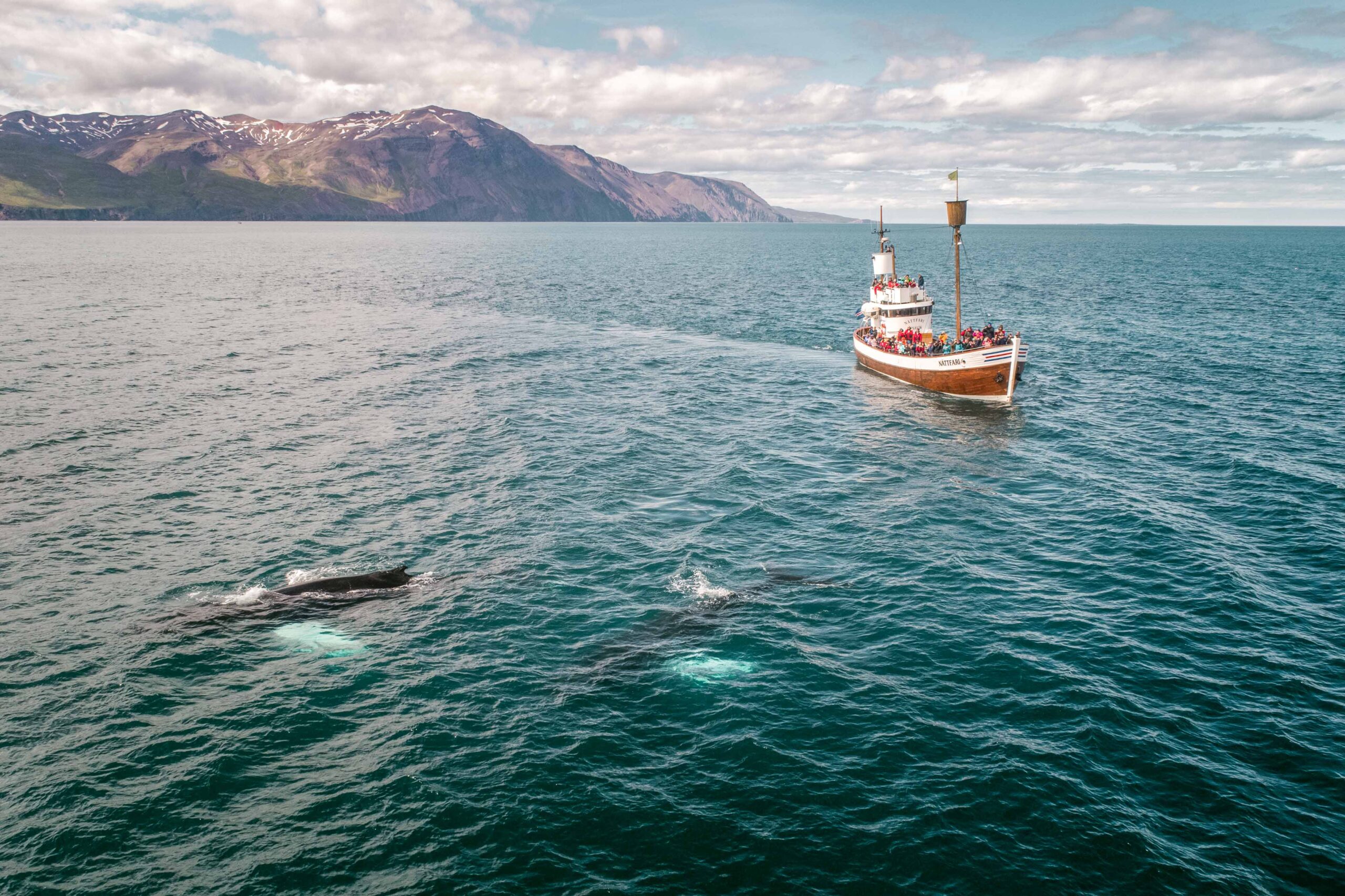
Considered to be Iceland’s whale-watching capital, Húsavík is a must-visit destination for those who wish to witness these majestic creatures up close. This town has gained popularity among travellers due to the abundance of whales that can be spotted in its waters. With its colourful houses, unique museums, and stunning snow-capped peaks across the bay, Húsavík is not only a hub for experiencing the wonder of whale-watching but also the prettiest fishing town in the northeast of Iceland.
While there are other locations in Iceland where you can embark on whale-watching tours, such as Reykjavík and Eyjafjörður in the north of Akureyri, Húsavík stands out due to the presence of up to 11 whale species that come here to feed during the summer months. The best time to spot these magnificent creatures is between June and August, which coincides with the peak tourist season. However, this also means that you have a near-100% chance of seeing a whale during this time.
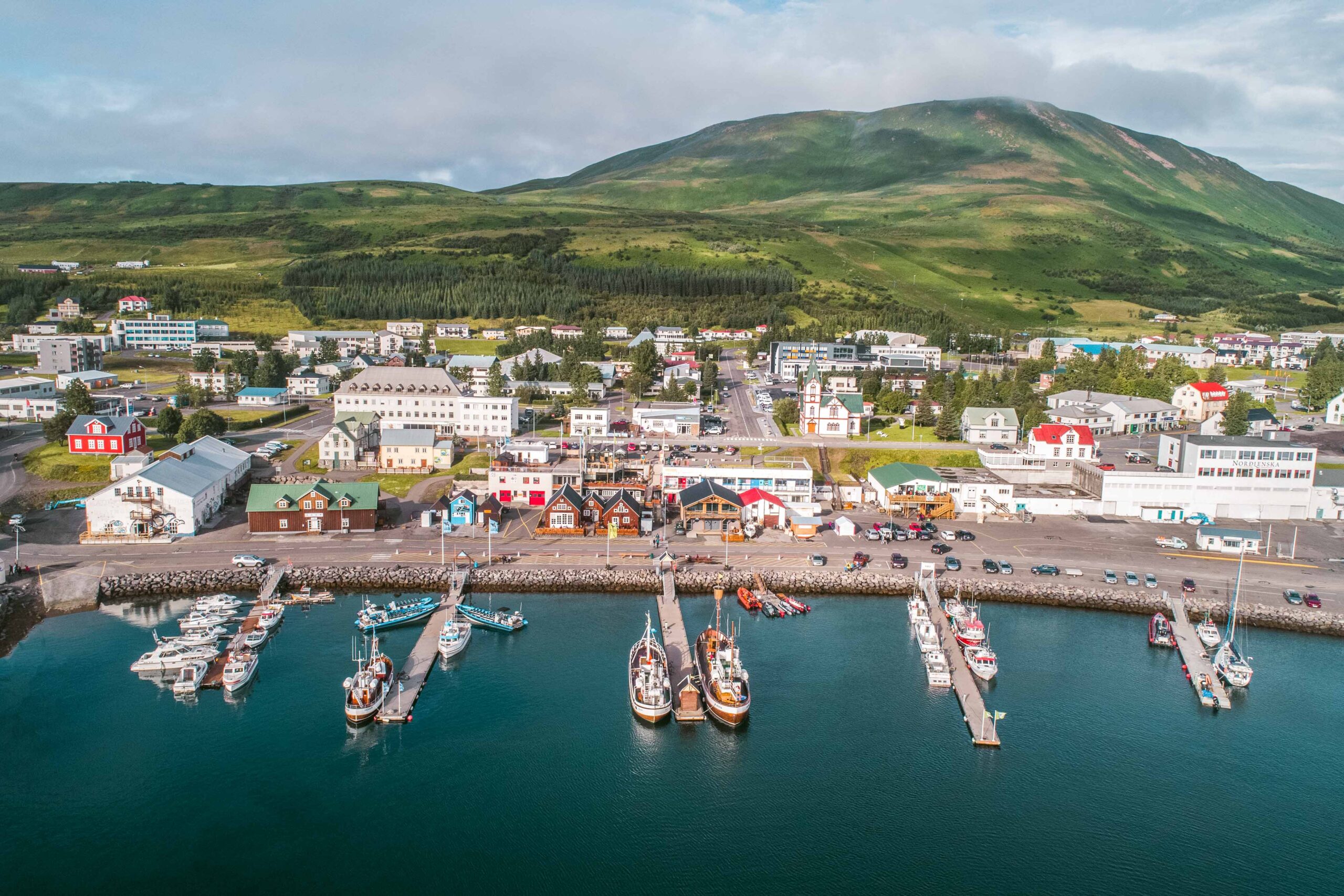
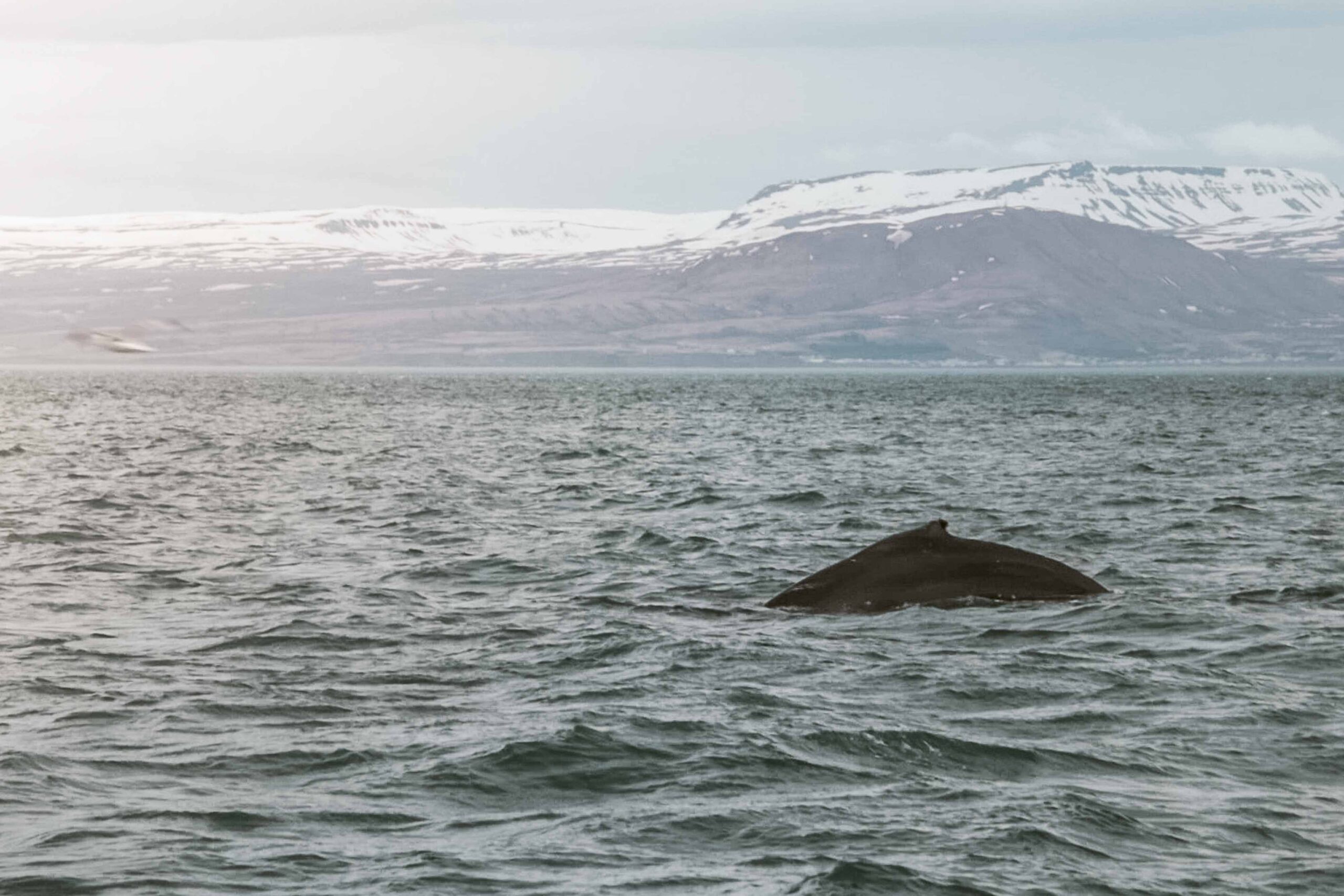
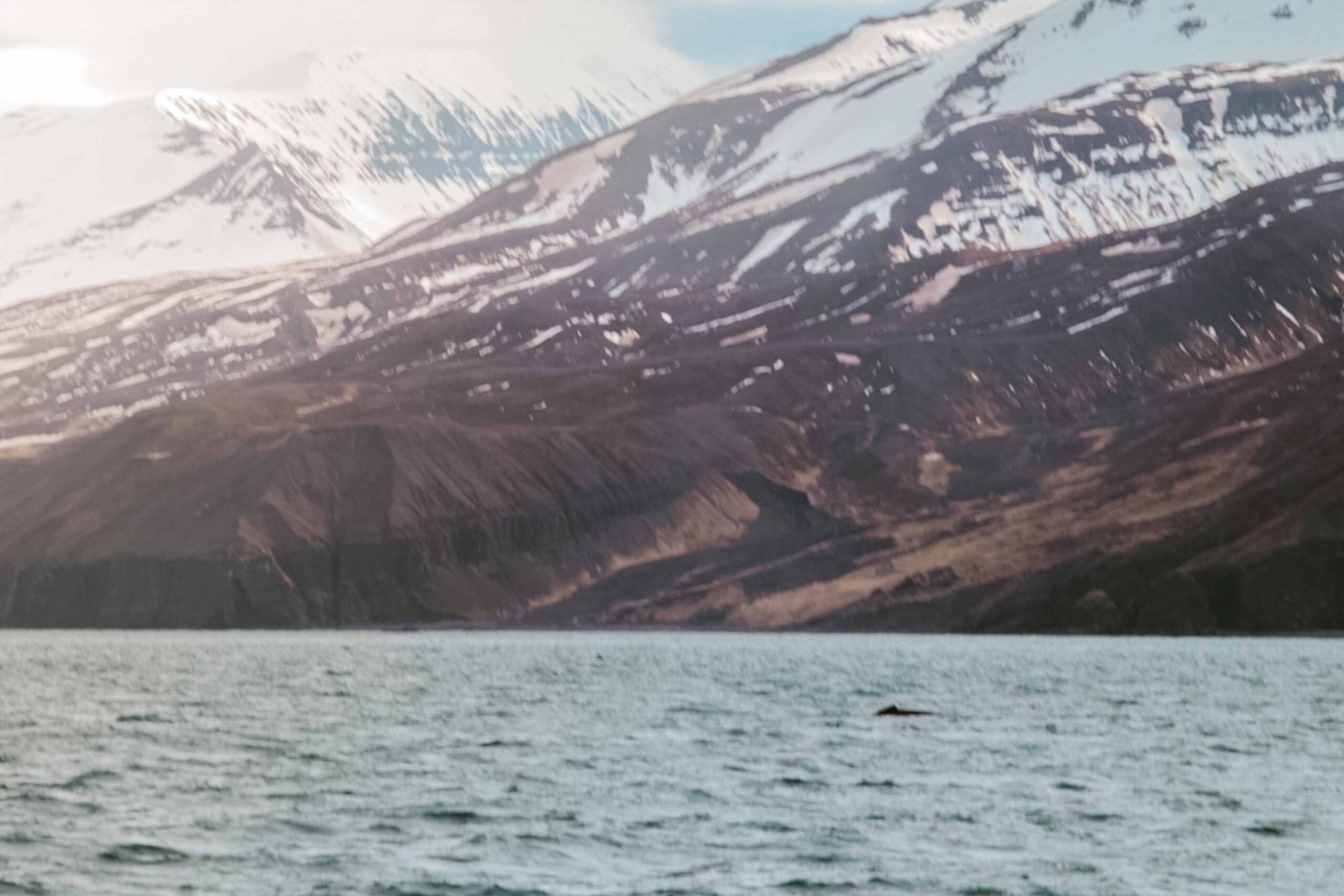
Húsavík also has several museums and cultural attractions, including the Húsavík Whale Museum, which provides a fascinating insight into the history of whaling in Iceland and the importance of these magnificent creatures to the local ecosystem. Other popular attractions there include the wooden church of Húsavík, one of the oldest and most picturesque churches in Iceland, and the GeoSea Geothermal Sea Baths, where visitors can relax in hot tubs and enjoy stunning views of the surrounding coastline.
📍 Húsavík is accessible from Route 87, approximately 55 kilometres from Reykjahlíð.
🎟️ Several companies propose whale-watching tours from Húsavík harbour. My prime recommendation is the carbon-neutral “Silent Whale-watching” 3-hour tour by North Sailing. Prices are 12000 ISK (~80€ / 85$) per adult and 6000 ISK (~40€ / 43$) per child aged 7-15.
🕒Whale-watching tours usually run from April to October.
19. Ásbyrgi canyon
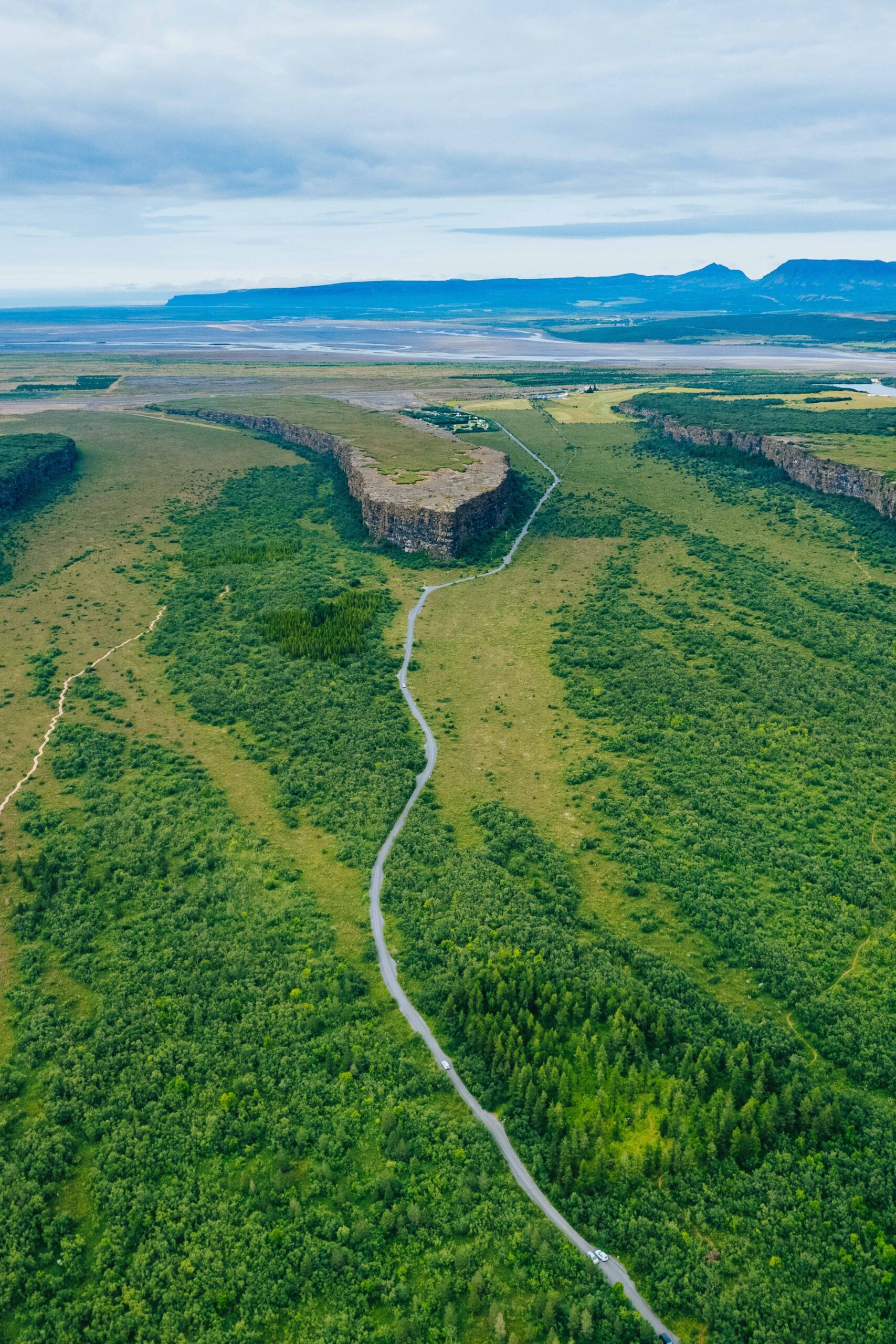
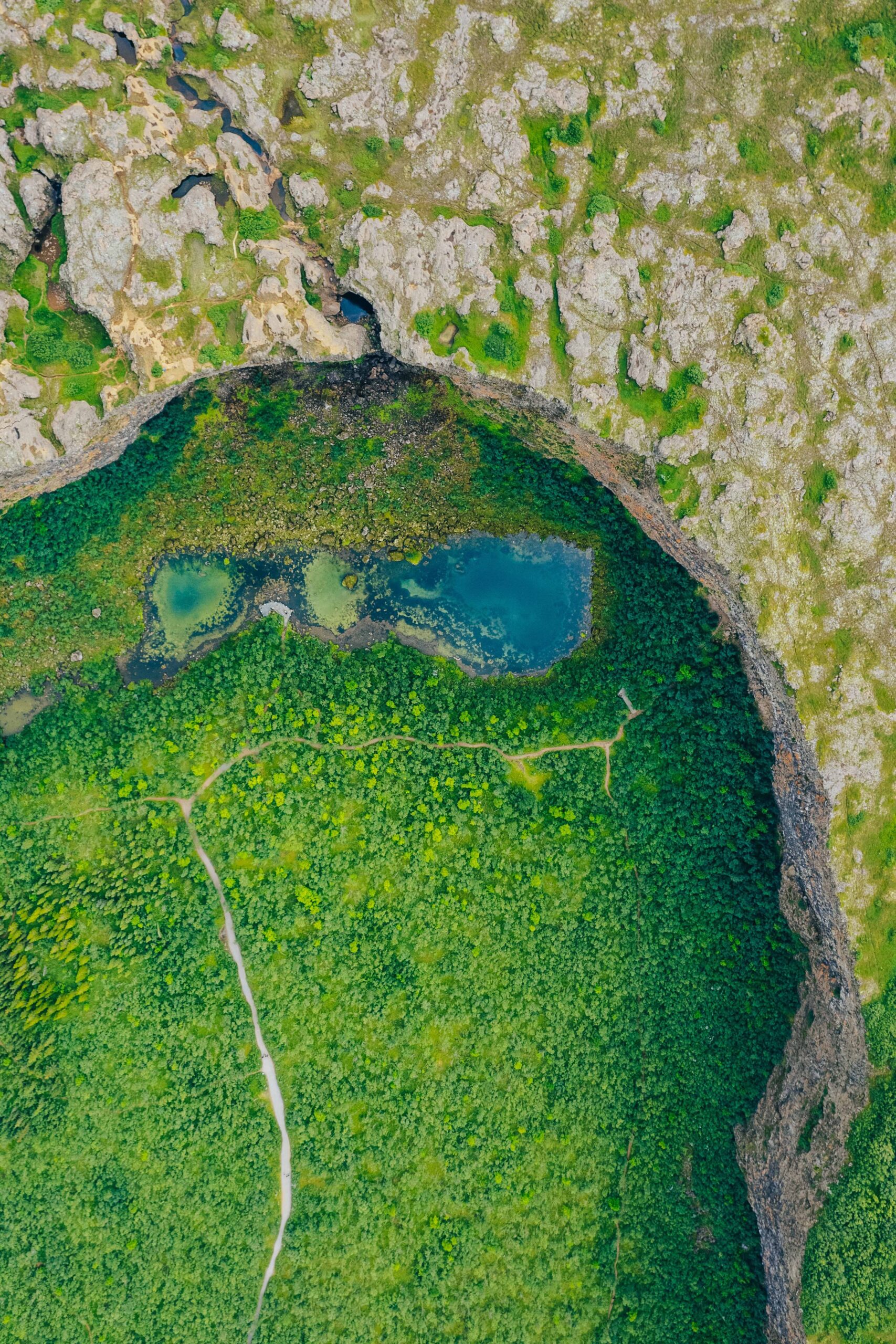
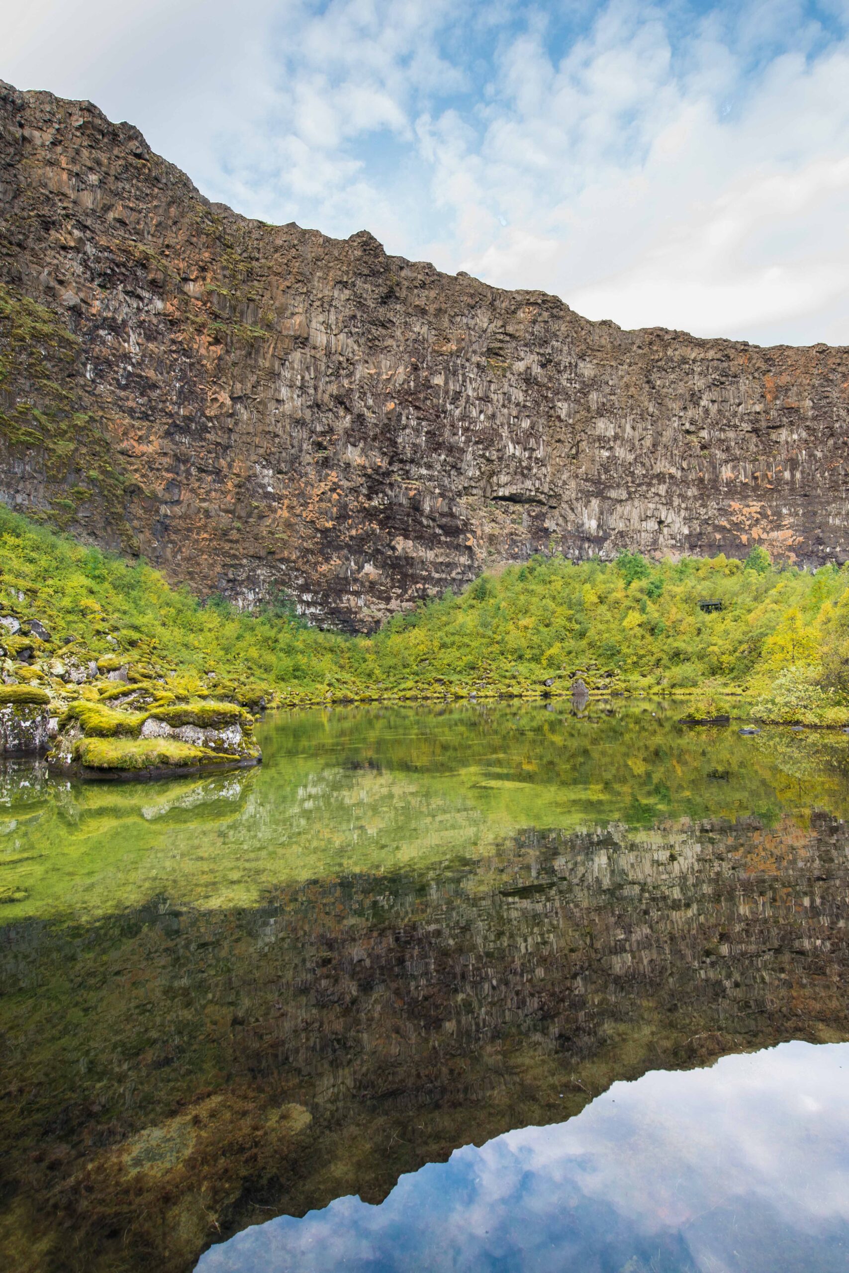
Ásbyrgi Canyon is a unique horseshoe-shaped canyon, measuring approximately 3.5 kilometres in length and 1.1 kilometres in width, with towering cliffs rising up to 100 meters on either side. The canyon is believed to have been formed by a catastrophic flood from the nearby Jokulsa River, and legend has it that it was created by Odin’s horse – Sleipnir – who accidentally touched down on earth with one of its eight hooves.
This natural wonder belongs to Vatnajökull National Park. Visitors can hike along several trails that wind through the canyon, offering stunning views of the towering cliffs and the lush vegetation below. The canyon also has a visitor centre with information about the geology and history of the area. The tranquil beauty and serene atmosphere of Ásbyrgi canyon make it a perfect place for relaxation and reflection.
🗺️ Download the map of the hiking trails in Ásbyrgi on Vatnajökulsþjóðgarður’s official website here.
📍 Ásbyrgi Canyon is located on Route 85, east of Husavik and approximately 80 kilometres from Reykjahlíð.
🎟️ Access to the Ásbyrgi Canyon is free.
🕒 Ásbyrgi Canyon is open year-round. However, it’s important to note that some parts of the trails may be closed during winter due to snow and ice.
20. Aldeyjarfoss waterfall
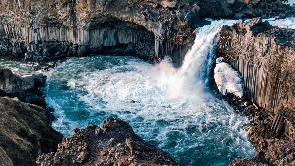
Aldeyjarfoss is a hidden gem nestled in the rugged and remote landscape of northern Iceland. This breathtaking waterfall is a sight to behold, with its powerful cascading water falling 20 meters into a crystal-clear pool below. What makes Aldeyjarfoss unique is the striking contrast between the black basalt columns that surround it and the pristine white water that flows over it. The surrounding cliffs and hexagonal basalt formations give the waterfall a mystical and otherworldly appearance.
The journey to Aldeyjarfoss is equally impressive, with winding dirt roads and barren landscapes leading to this hidden natural wonder. Visiting Aldeyjarfoss is an unforgettable experience that is not to be missed when exploring Iceland’s awe-inspiring landscapes.
📍 Aldeyjarfoss is accessible from Route 842, approximately 90 kilometres from Reykjahlíð.
🎟️ Access to Aldeyjarfoss is free.
🕒 Due to its location in the Highlands, Aldeyjarfoss is not accessible year-round. Check road conditions beforehand on Road.is.
Tips for visiting the Mývatn Lake area
The Mývatn Lake area is one of the main touristic hubs in Northern Iceland, so it is well-equipped with many facilities despite its remote location. Here are some useful tips to facilitate your visit:
⛽ Gas stations in the Mývatn Lake area
There are two gas stations in the area, both open 24/7. The first one is an N1 station service located in Reykjahlíð; the second is an Orkan station service located in Skútustaðir.
🛒 Supermarkets and shops in the Mývatn Lake area
There is only one convenience store in Reykjahlíð, called Verslun Supermarket. If you are coming from the East, I reckon making a big grocery shopping at Bónus and Nettó in Egilsstaðir. On the contrary, if you are coming from the West, refill your grocery bags in Akureyri.
⛅ Weather in the Mývatn Lake area
The weather around Lake Myvatn can be unpredictable, so it’s important to pack accordingly. It can get quite chilly, even in the summer months, so be sure to bring warm clothing and waterproof gear.
🏕️ Camping in the Mývatn Lake area
As in any other place in Iceland, camping is only allowed on designated campsites.
🛌 Best places to stay at in the Mývatn area
The Mývatn Lake area offers a variety of accommodation options to choose from, ranging from campsites to cozy guesthouses. Many of these accommodations offer scenic views of the surrounding nature, including the lake, lava fields, and mountains.
🛏️ Check more available accommodations in the Mývatn Lake area.
Please note that the prices mentioned above are indicated per night and based on the prices of March 2023. They are subject to fluctuation according to supply and demand, time of the year, and the will of the owners.
BONUS: Map of Mývatn Lake area
To help you make the most of your time in the Mývatn Lake area, I created a map that highlights the best places to visit and activities to do during your trip. I hope you will enjoy it!
💡 To navigate this map, simply use your computer mouse or fingers to zoom in or out, and click on the icons to get more information about each location. You can access the index by clicking on the arrow in the top left corner. Additionally, if you want to save the map to your Google Maps account, click on the star next to the map’s title. To view your saved map on your smartphone or PC, open Google Maps, and navigate to ‘Your Places’ or ‘Maps’ in the menu. If you want to print the map or view it in a larger window, simply click on ‘View larger map’ in the top right corner.
I hope these suggestions about things to do in Mývatn Lake area have been helpful and informative!
📌 Liked it? Pin it!


